Description
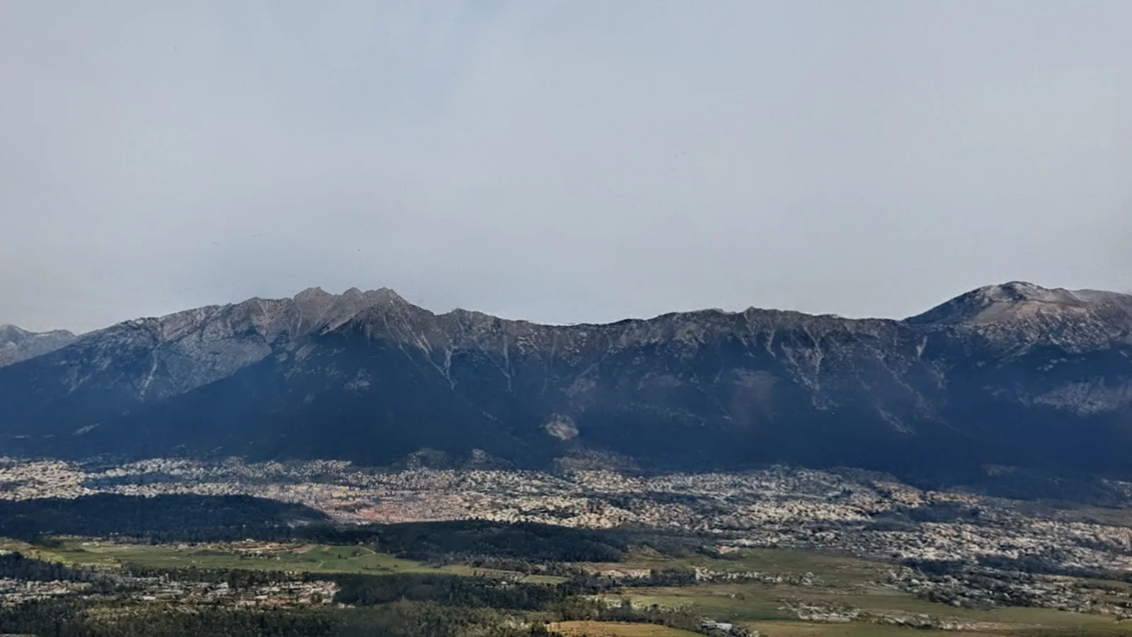
This 12-day, 184.6 km route through the Trollheimen and Dovrefjell highlands of Norway combines the classic Triangle Tour with an extension leg into the Innerdalen and Vangshaugen valleys. Total ascent reaches 7,015 m. The route uses DNT self-service huts and tent camping, requiring hikers to carry food and navigate independently across open fells and valley corridors. Starting elevation is 708 m at Gravemssetrin, reached by taxi from Oppdal (accessible by train or bus from Trondheim). Terrain shifts repeatedly between high plateau, forested valley, and exposed ridgeline throughout the circuit.
The route starts at Gravemssetrin, climbs to Gjevilvasshytta, traverses the high plateau via Trollheimshytta, then descends through Taløyan and Innerdalen to the Vangshaugen valley before continuing south via Loennechenbua and Reinheim to Kongsvoll.
Day 1 — Gravemssetrin to Gjevilvasshytta
18.3 km | +672 m / −537 m
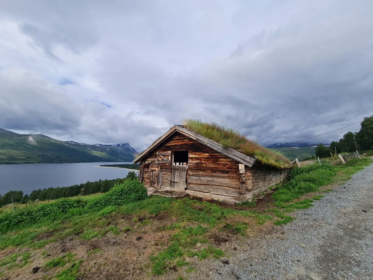
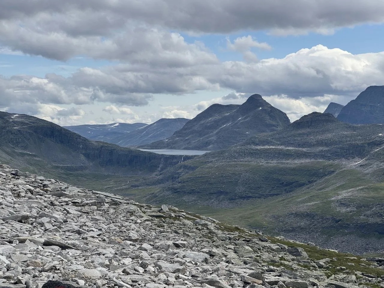
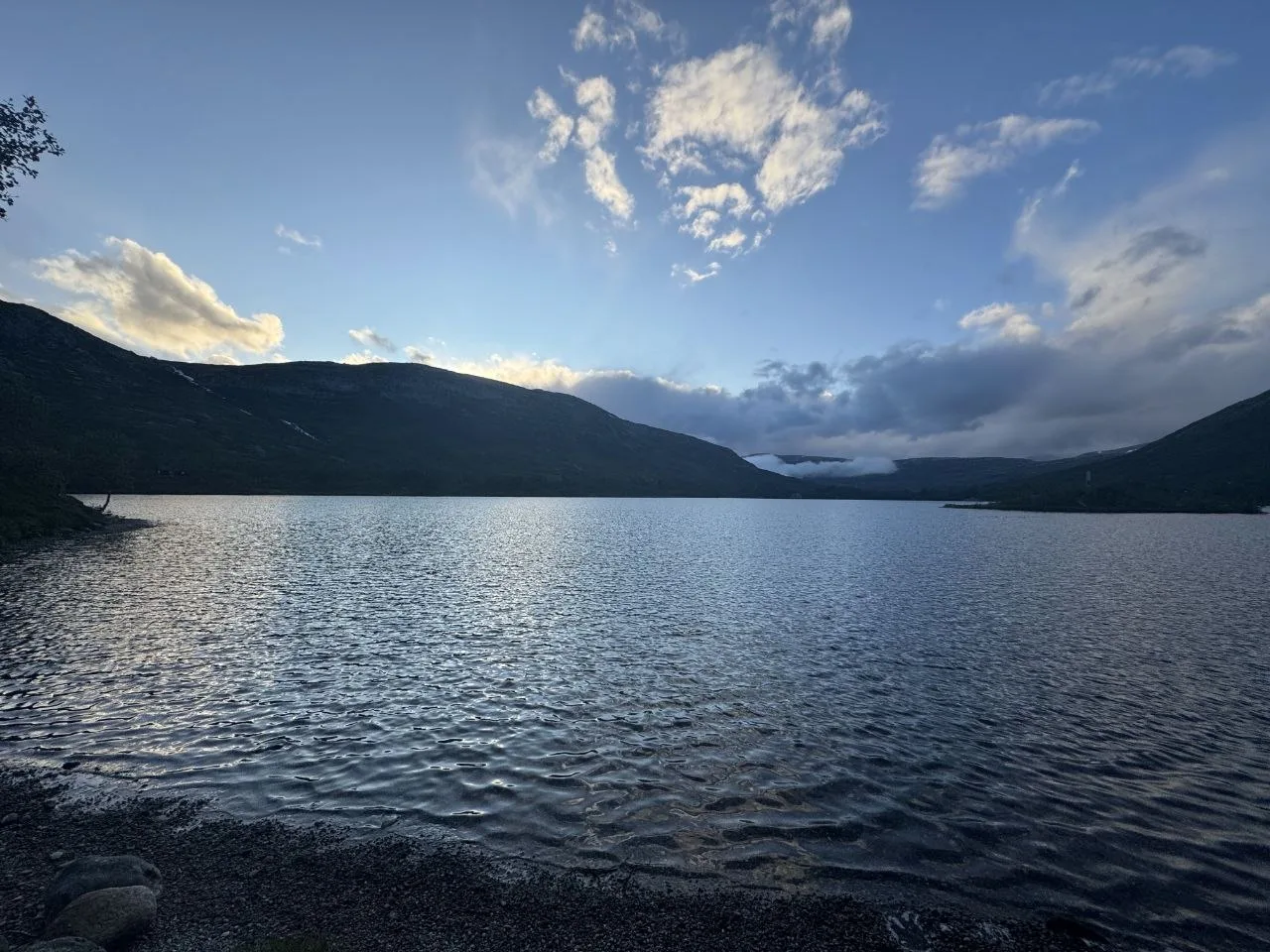
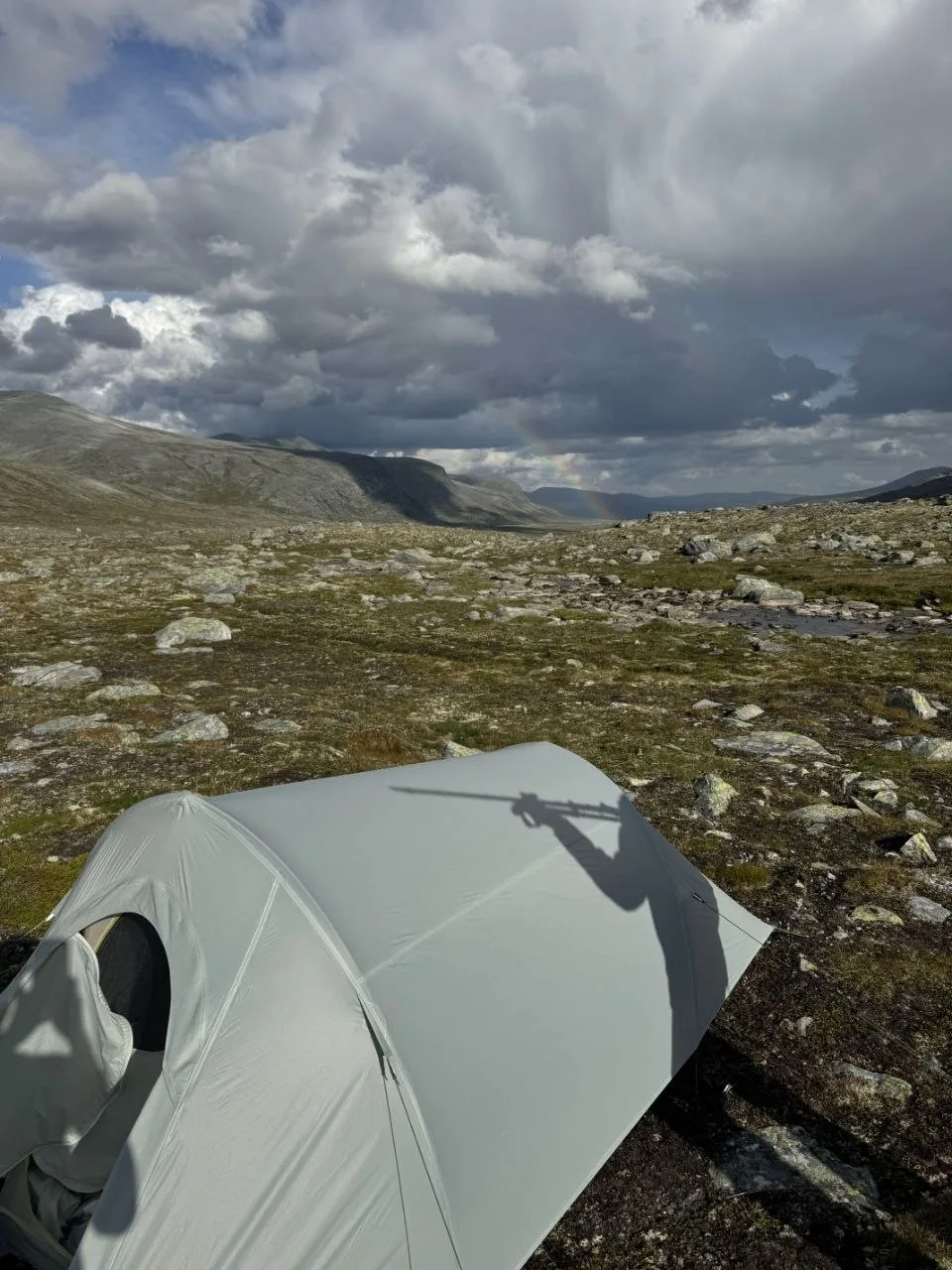
Starting at Gravemssetrin, the trail climbs toward the high fell, passing Høghøa and Svahøa on the way to Gjevilvasshytta, one of the most iconic DNT huts in Trollheimen. The hut sits at the north end of Gjevilvatnet lake. We camped nearby and woke to a rainbow over the fells — a promising start despite the overcast skies.
Day 2 — Gjevilvasshytta to Trollheimshytta
16.7 km | +114 m / −423 m
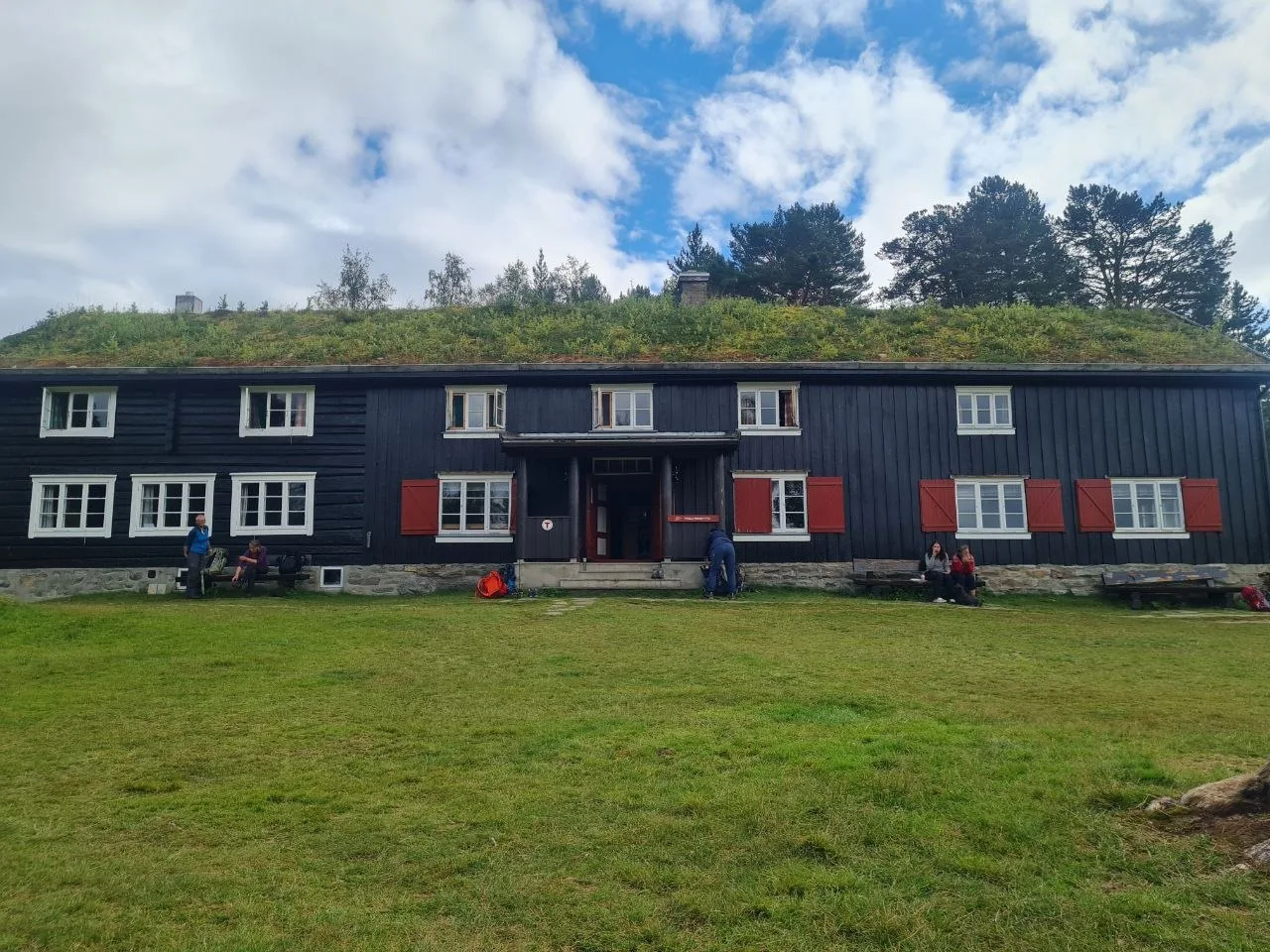
Descending from Gjevilvasshytta through forested valley, passing Gråfjellet and Skrikhøa, to Trollheimshytta. Trollheimshytta is the second anchor of the triangle and a popular base for the Snota day hike, sitting on the high plateau with views across the surrounding peaks.
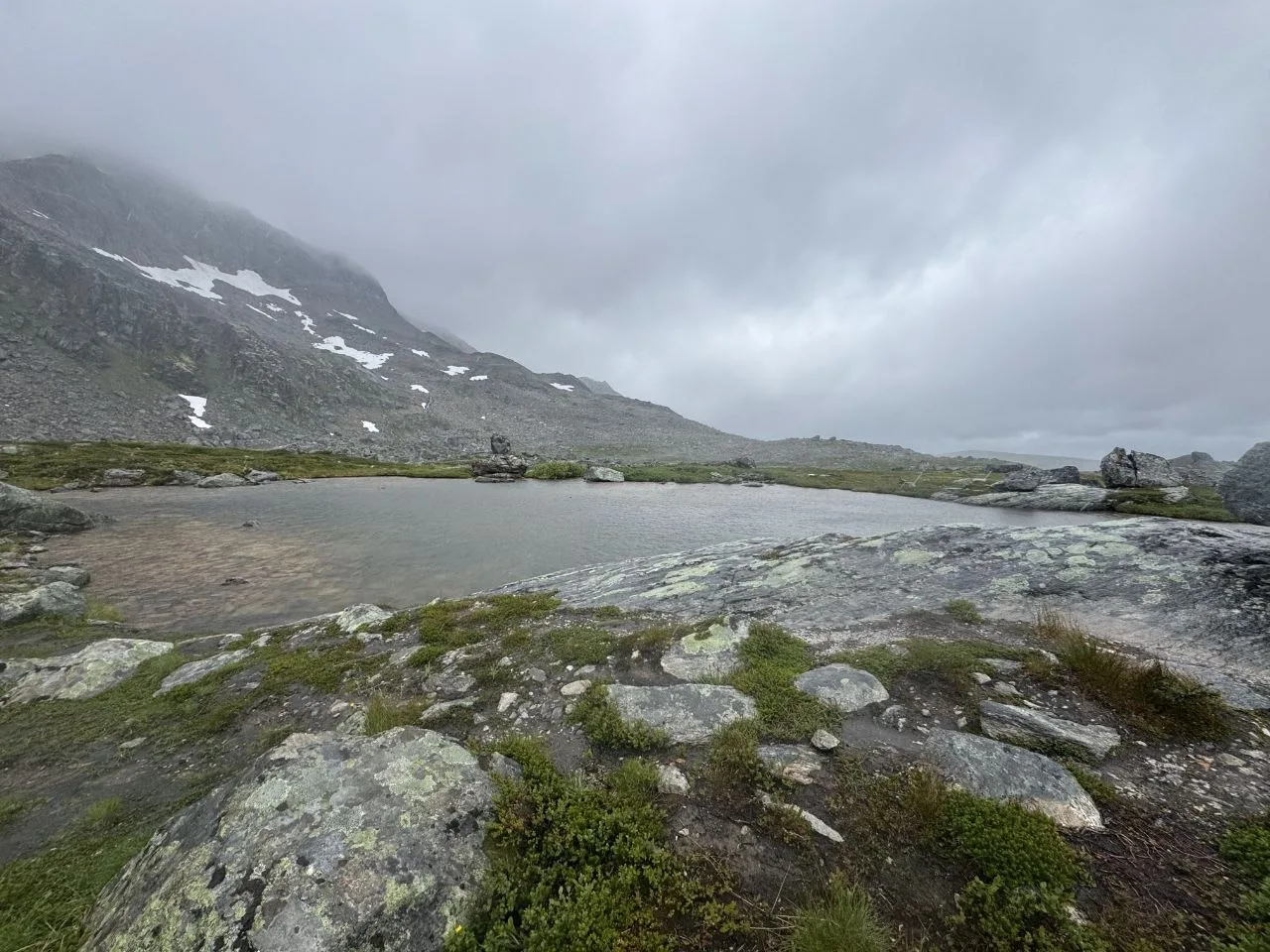
Day 3 — Snota Loop
17.2 km | +697 m / −697 m
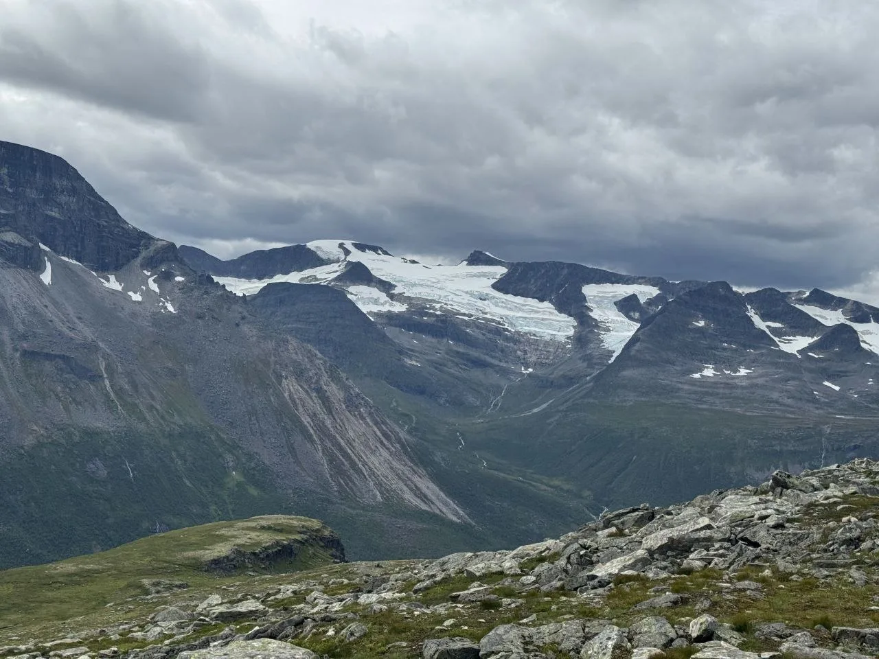
A loop day starting and ending at Trollheimshytta, attempting Snota (1,669 m), one of Trollheimen’s most celebrated summit hikes. We turned back due to heavy rain — the upper slopes are exposed and weather can close in rapidly. Fog and low clouds shrouded the peaks as we descended back to the hut.
Day 4 — Trollheimshytta to Nauståbu
15.2 km | +510 m / −185 m
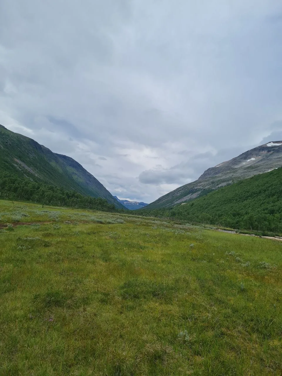
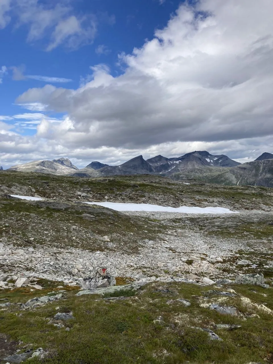
Continuing from Trollheimshytta across open terrain toward the Nauståbu shelter area. The trail crosses high plateau with cairns as the primary navigation markers before descending into the valley. Neadalssnota peak rises above the surrounding terrain.
Day 5 — Nauståbu to Taløyan
14.2 km | +461 m / −788 m
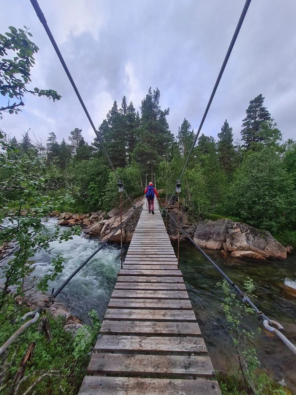
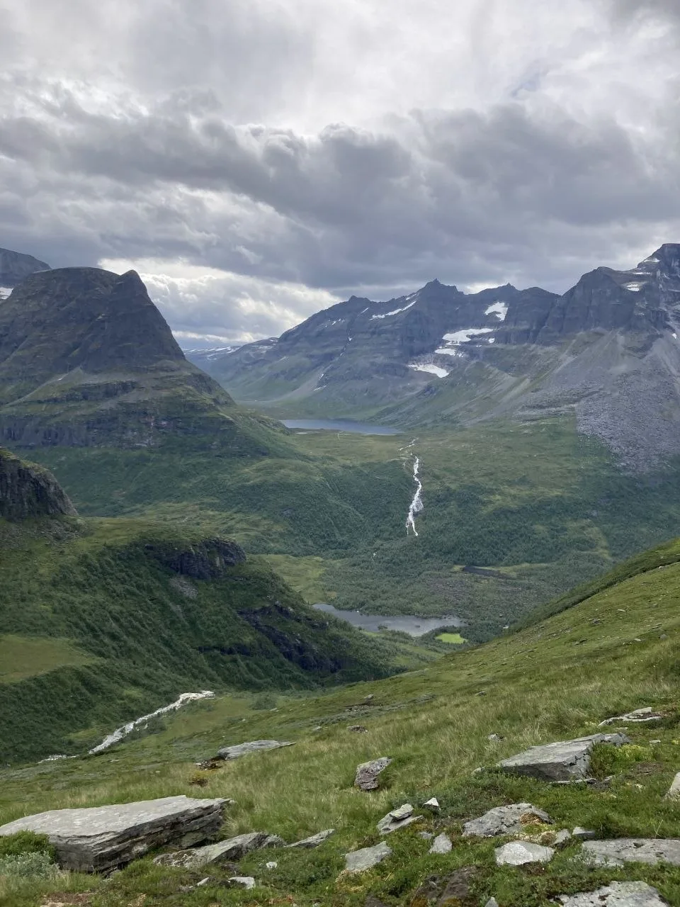
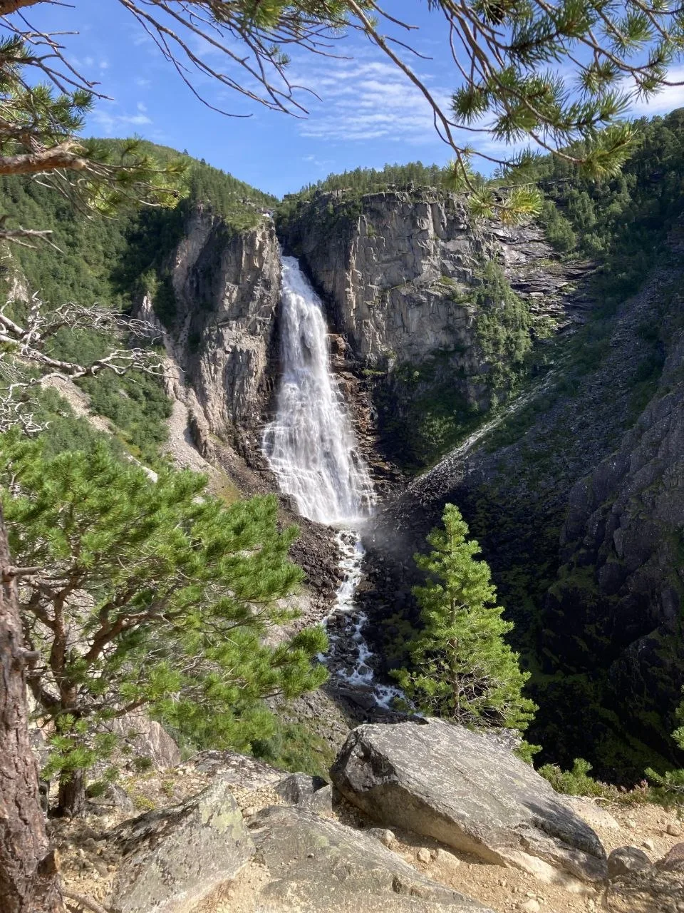
Descending from the Nauståbu area through forested terrain with waterfalls and mountain lakes to Taløyan in the Todalen valley. Kårvatn hut sits along the route. The trail drops steadily through pine forest, the sound of cascading water echoing through the gorge.
Day 6 — Taløyan to Innerdalshytta
8.7 km | +668 m / −761 m
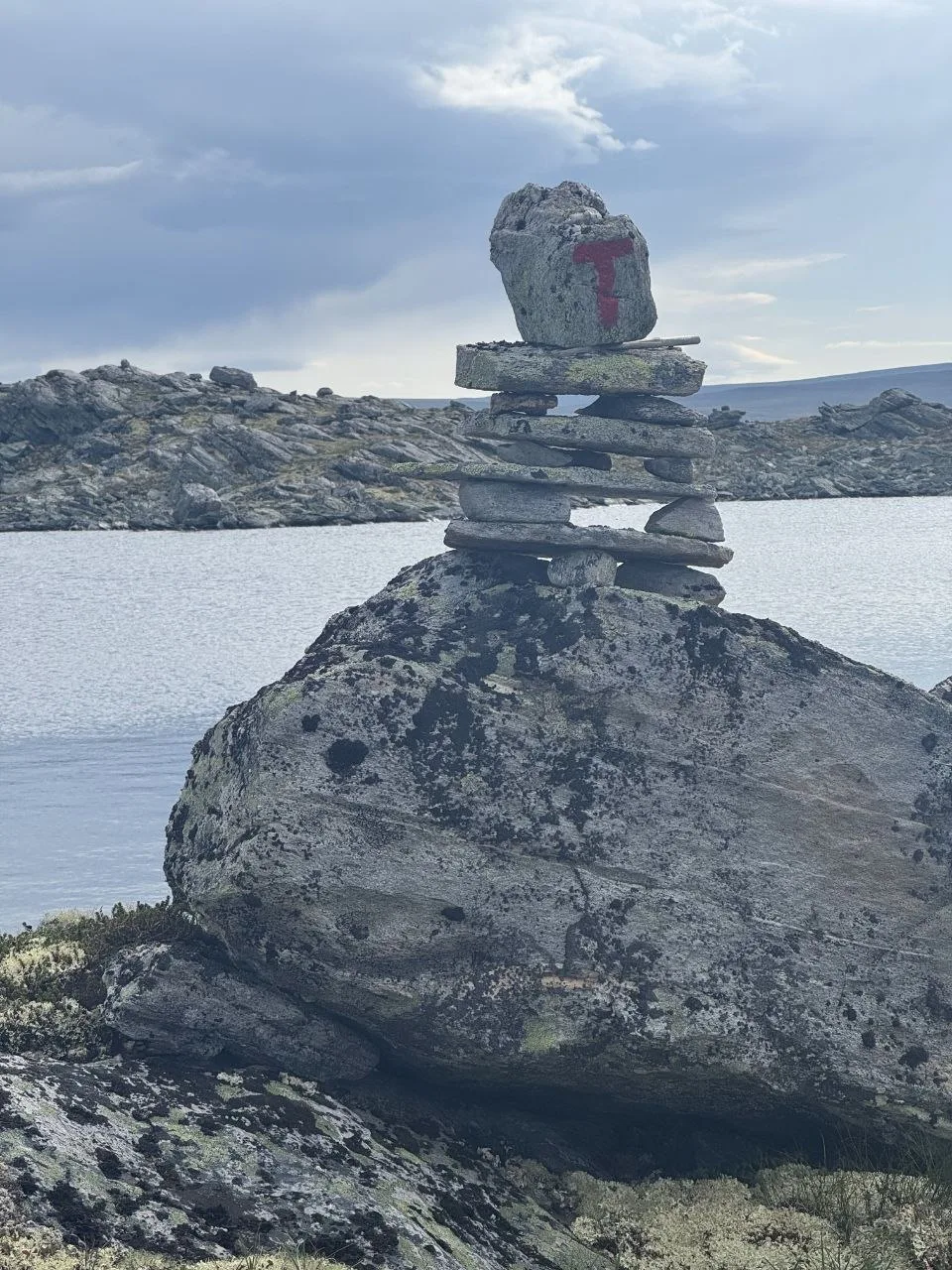
A shorter day from Taløyan to Innerdalshytta, following the trail through the valley. Taløystorhaugen peak overlooks the route. Trail cairns with red T markers guide the way along the lakeshore and through rocky terrain. A good weather buffer day with flexibility in the schedule.
Day 7 — Innerdalshytta to Råa
15.0 km | +744 m / −1,024 m
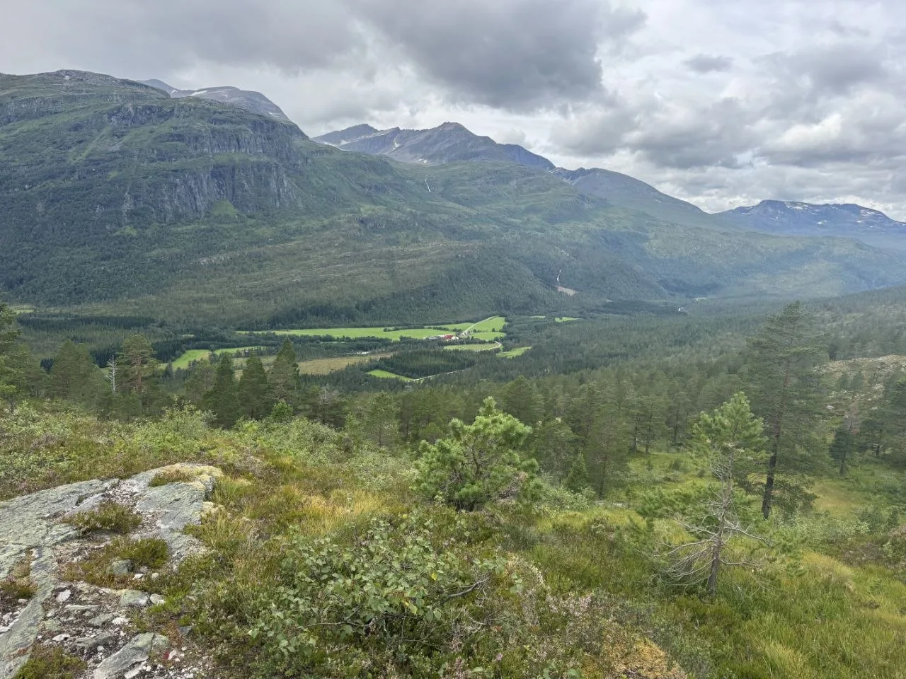
The largest single-day descent on the route. The trail drops from Innerdalshytta through pine forest and valley terrain to Eiriksvollen, passing Tårnfjell, Renndølsetra, and Fale along the way. Waterfalls cascade through the forest as the trail loses elevation steadily.
Day 8 — Råa to Vangshaugen
15.4 km | +1,180 m / −572 m
Starting at Råa at just 127 m elevation — the lowest point of the entire tour — this is the most demanding ascent day. The trail climbs 1,180 m through forested terrain to Vangshaugen, passing Eiriksvollen along the way.
Day 9 — Vangshaugen to Jenstad
13.7 km | +664 m / −572 m
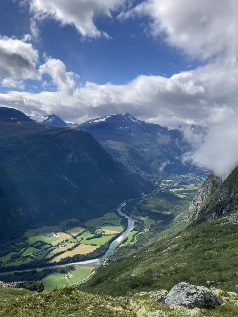
Closing the loop, traveling from Vangshaugen via Svisdalen and Hælfjellet to Gammelsetra. The final stretch through patchwork farmlands and river valleys felt almost civilized after days on the high fells.
Day 10 — Gammelsetra to Loennechenbua
14.4 km | +801 m / −255 m
Heading south from Gammelsetra through Svisdalen toward Loennechenbua, a wilderness hut in the high terrain between the Trollheimen and Dovrefjell ranges. The trail gains 801 m over 14.4 km through increasingly remote landscape.
Day 11 — Loennechenbua to Reinheim
17.7 km | +397 m / −355 m
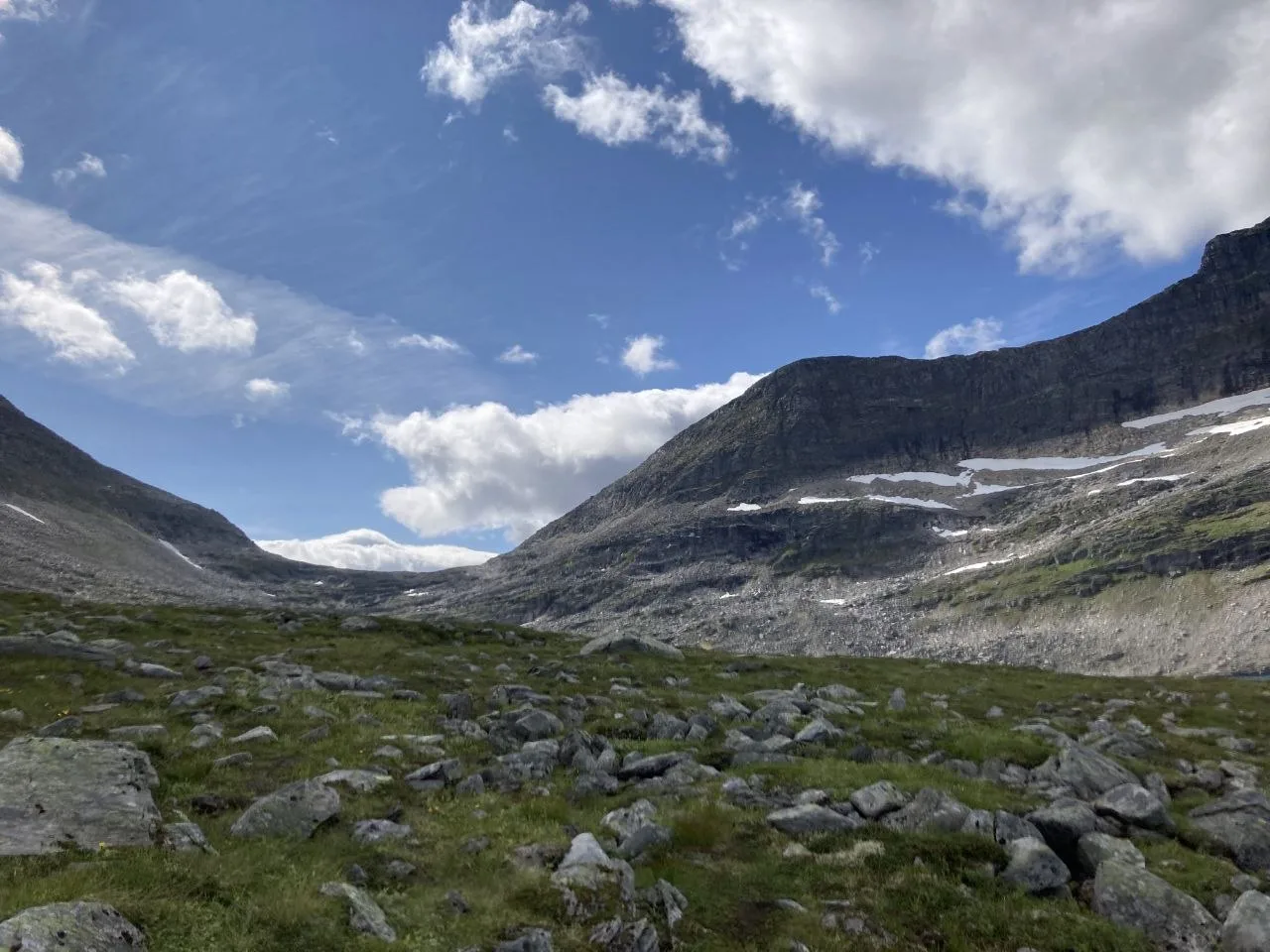
Crossing the high plateau from Loennechenbua to Reinheim. Skirådalskollen peak rises above the route. Modest ascent and descent across exposed upland terrain. Cairns are the primary navigation markers; in early season these can be buried under snow.
Day 12 — Reinheim to Kongsvoll
18.1 km | +107 m / −643 m
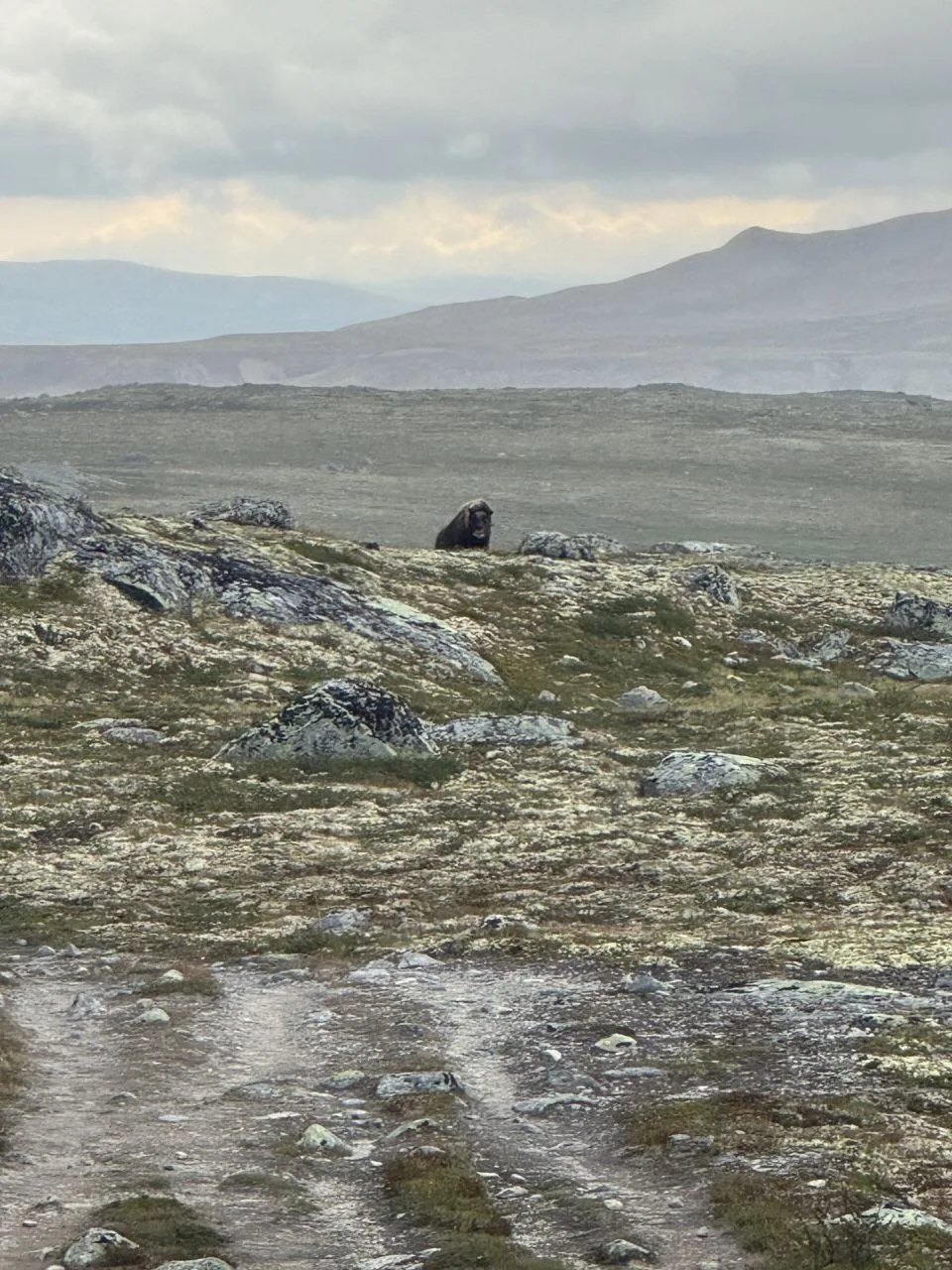
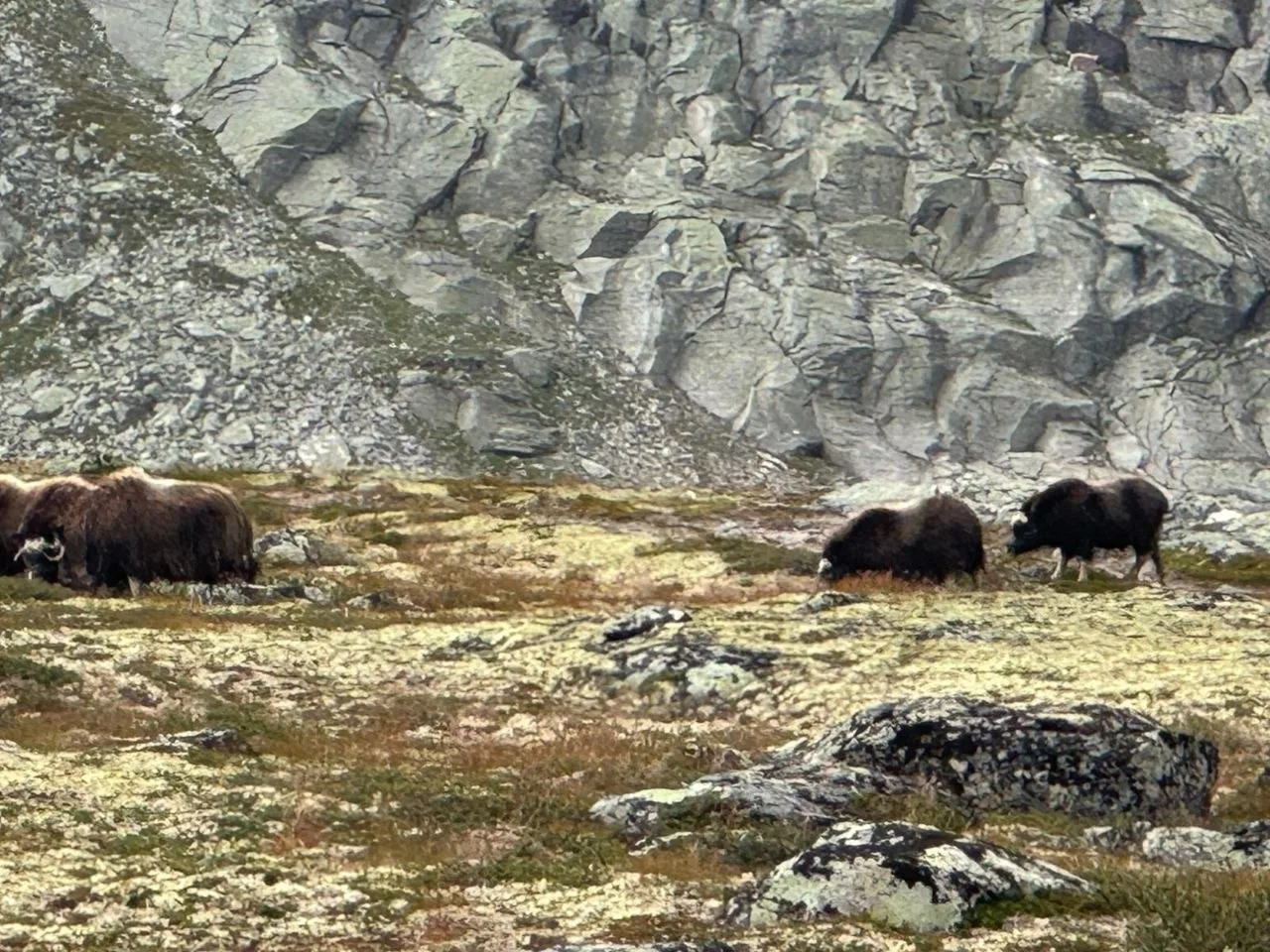
The final day descends from Reinheim to Kongsvoll, dropping 643 m over 18.1 km. Following the long fall line off the plateau toward the Dovrefjell valley floor. Before reaching the signposted Musk Ox Trail — a popular route where sightings are common — we had already spotted several musk oxen on the high tundra toward the end of the trek. Kongsvoll marks the end of the route and a well-earned rest at the historic Kongsvold Fjellstue.
About the Triangle Tour
The Trollheimen Triangle Tour (Trekant-turen) is one of the classic multi-day hikes in the Trollheimen range. The traditional route connects three DNT huts — Gjevilvasshytta, Trollheimshytta, and Jøldalshytta — forming a triangle across the high plateau. The route described here shares the same starting point and first two huts with the classic triangle, but diverges after Trollheimshytta, adding an extension leg via Taløyan, Innerdalen, and Vangshaugen to explore the less-traveled northern valleys. The route then continues south via Loennechenbua and Reinheim to Kongsvoll. This adds three days and approximately 140 km to the classic route. See also the DNT Triangle Tour page.
Navigation & Huts
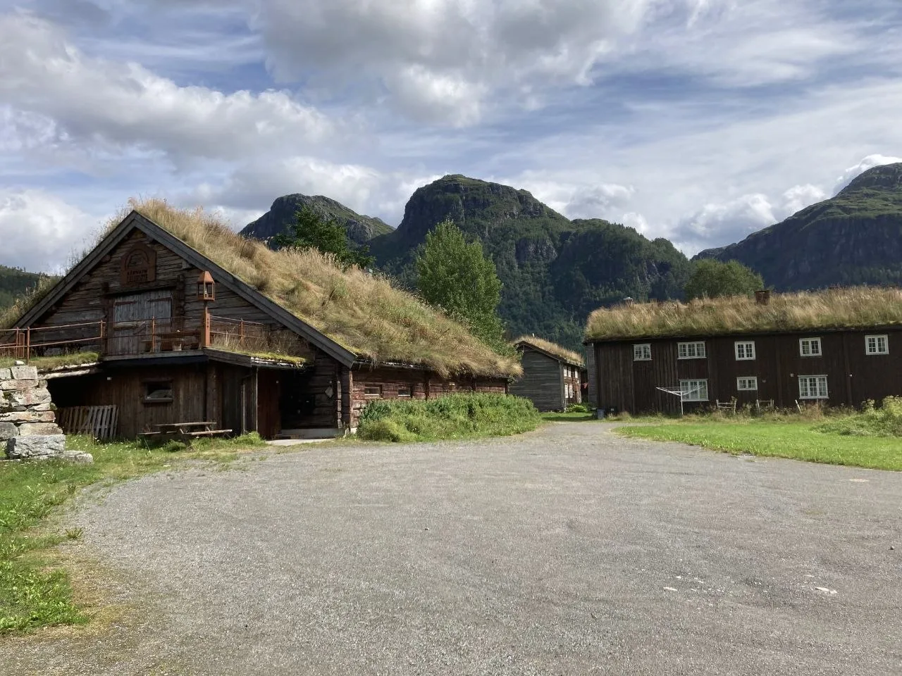
DNT self-service huts are unlocked with a DNT membership key and stocked with basic provisions, cooking equipment, and bedding — hikers log usage in an honesty book and pay through the DNT system, typically via the DNT Hyttebetaling app. Note that bedding is provided but you still need to bring your own hut sleeping bag (hyttejojo). Stock levels vary and cannot be relied upon for full resupply.
Getting There
The route is accessed via Oppdal, which has good bus and train connections from Trondheim (approximately 1.5 hours by train, 2 hours by bus). From Oppdal, take a taxi to the trailhead at Gravemssetrin. The return is by train from Kongsvoll Station, which sits on the Dovre Line with regular service back to Oppdal and onward to Trondheim.
Oppdal has well-stocked outdoor shops for last-minute supplies — the Vertical Playground store in the town center is recommended for camping gas and other outdoor essentials.
What to bring
- DNT membership card and hut key — without these, self-service cabins are inaccessible.
- Full tent and sleeping kit for nights where hut capacity or location requires camping.
- Multi-day food supply sufficient for the self-service sections.
- Waterproof outerwear and insulating layers suited to exposed fell conditions.
- Trekking poles for the long descent days, particularly the 1,024 m drop on Day 7 and the 643 m descent to Kongsvoll on Day 12.
Tips
- Obtain a DNT membership and hut key before departure — they cannot be arranged on the trail.
- Hut food stocks vary; do not count on them to fill gaps between resupply points.
- Day 8 climbs 1,180 m from Eiriksvollen at 127 m to Vangshaugen. Start early and check the weather before committing to the upper approach.
- Day 6 (Taløyan to Innerdalshytta) offers schedule flexibility. At 8.7 km it works well as a weather buffer without disrupting the overall itinerary.
- On Days 11 and 12, cairns can be buried under snow in early season and the plateau gives little natural orientation. Carry navigation (GPX, electronic map) ideally on several independent electronic devices, carry power backup, and make sure to have downloaded the maps (no reception). Potentially bring paper map and compass as backup.
- Snota (Day 3) is one of Trollheimen’s finest summit hikes but demands clear weather. The upper slopes are exposed and route-finding becomes difficult in rain or fog.
- Watch for musk oxen on the open tundra — keep a safe distance and do not approach them.
FAQ
How long is the Trollheimen Triangle route, and how much elevation gain should I expect?
The full circuit covers 184.6 km over 12 days, with total ascent of 7,015 m and total descent of 6,812 m.
Individual days range from 8.7 km (Day 6) to 18.3 km (Day 1), with ascent per day varying between 107 m (Day 12) and 1,180 m (Day 8). The route connects the Trollheimen and Dovrefjell highlands, shifting between open fells, forested valleys, and exposed ridgelines. You should be comfortable with sustained multi-day mountain trekking and carrying a full pack including tent and food.
How does this 12-day route differ from the classic Trollheimen Triangle Tour?
The classic Triangle Tour connects three DNT huts — Gjevilvasshytta, Trollheimshytta, and Jøldalshytta — forming a triangle across the high plateau, and typically takes around 3 days.
This 12-day route shares the same starting point and first two huts with the classic triangle, but diverges after Trollheimshytta. It adds an extension leg via Taløyan, Innerdalen, and Vangshaugen to explore the less-traveled northern valleys, then continues south via Loennechenbua and Reinheim to Kongsvoll. This adds approximately 140 km and several days compared to the classic route.
Which is the hardest day on the Trollheimen Triangle Tour?
Day 8 is the most demanding ascent day: 15.4 km with 1,180 m of ascent, starting from Eiriksvollen at just 127 m elevation — the lowest point of the entire route.
You climb through forested terrain all the way to Vangshaugen. The Tips section recommends starting early and checking the weather before committing to the upper approach, as conditions can change rapidly at higher elevations. Trekking poles and a steady pace are essential for this day.
Which day has the biggest descent on the route?
Day 7 drops 1,024 m over 15.0 km from Innerdalshytta to Eiriksvollen, making it the largest single-day descent.
The trail passes through pine forest and valley terrain, with waterfalls cascading through the forest along the way. Trekking poles are highly recommended for this day to protect your knees on the sustained downhill. There is also a notable 643 m descent on Day 12 from Reinheim to Kongsvoll.
Can I use DNT huts for the entire route, or do I need a tent?
You will need both. The route uses a combination of DNT self-service huts and tent camping.
Some nights require camping due to hut capacity or location, so a full tent and sleeping kit are essential. Self-service huts are unlocked with a DNT membership key and stocked with basic provisions, cooking equipment, and bedding — but stock levels vary and cannot be relied upon for full resupply. You also need to bring your own hut sleeping bag (hyttejojo). Importantly, you must obtain your DNT membership and hut key before departure, as these cannot be arranged on the trail.
What navigation should I carry for the high plateau sections?
Carry navigation on multiple independent electronic devices with power backup, and ideally a paper map and compass as the final fallback.
On the high plateau, particularly on Days 11 and 12, cairns with red T markers are the primary navigation aids — but in early season these can be buried under snow. The plateau gives little natural orientation, and visibility can close in quickly. Download all maps and GPX tracks before departure, as there is no phone reception on the route.
Is the Snota summit hike on Day 3 doable in bad weather?
Snota (1,669 m) is one of Trollheimen’s finest summit hikes but demands clear weather. The upper slopes are exposed, and route-finding becomes difficult in rain or fog.
The article’s authors turned back on their attempt due to heavy rain — fog and low clouds shrouded the peaks on their descent. Treat Day 3 as a flexible day: if conditions are poor, the loop can be shortened or skipped entirely since it starts and ends at Trollheimshytta. Wait for a clear weather window to attempt the summit.
When is the best day to build in schedule flexibility as a weather buffer?
Day 6 (Taløyan to Innerdalshytta) is the best candidate, at only 8.7 km with 668 m of ascent and 761 m of descent.
The Tips section explicitly notes that Day 6 offers schedule flexibility and works well as a weather buffer without disrupting the overall itinerary. The trail follows the valley past Taløystorhaugen peak, with red T trail cairns guiding the way along the lakeshore and through rocky terrain. If a preceding or following day is affected by bad weather, you can absorb the delay here.
Will I see musk oxen on the Trollheimen Triangle route?
Musk oxen were spotted on the high tundra toward the end of the trek, before reaching the signposted Musk Ox Trail near Kongsvoll on Day 12.
However, sightings are never guaranteed — they are wild, free-roaming animals. The Tips section advises watching for musk oxen on the open tundra but stresses keeping a safe distance and never approaching them. The Dovrefjell area is one of the best-known habitats for musk oxen in Norway, so chances are reasonable in this region.
Links
- DNT Norwegian Trekking Association — Huts and Membership
- Trollheimen Triangle Tour — DNT Official Route
- Trollheimen — DNT Region Information
- Vangshaugen — DNT Hut Information
- Kongsvoll Fjellstue — Dovrefjell
- Dovrefjell-Sunndalsfjella National Park
Downloads
Day 1 GPX Day 2 GPX Day 3 GPX Day 4 GPX Day 5 GPX Day 6 GPX Day 7 GPX Day 8 GPX Day 9 GPX Day 10 GPX Day 11 GPX Day 12 GPX