Description
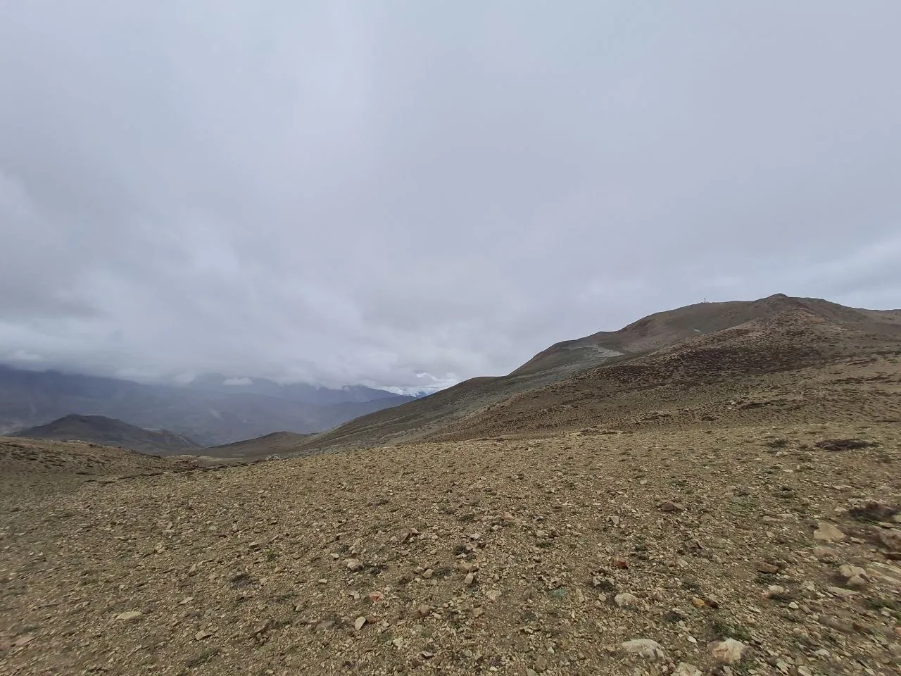
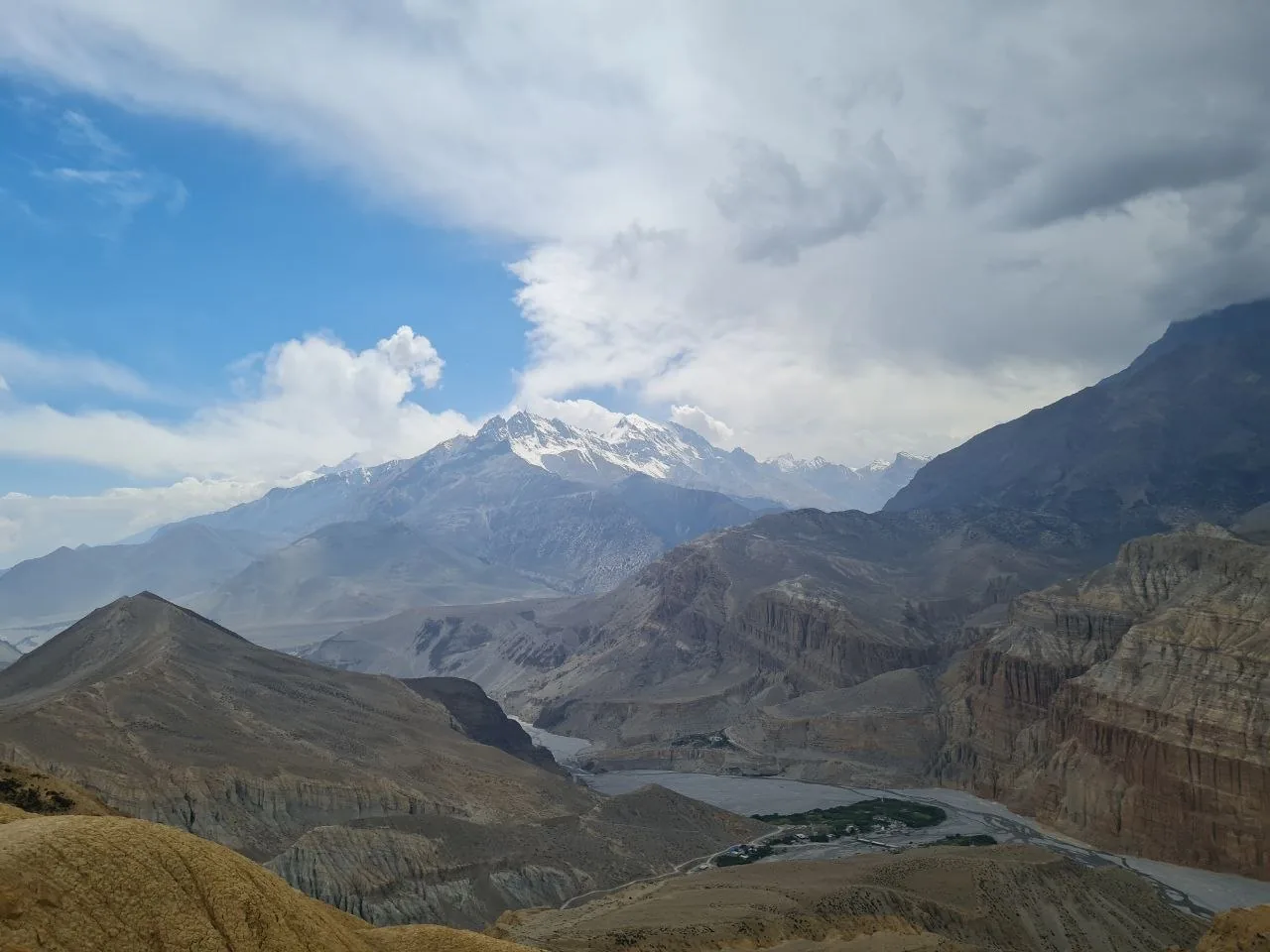
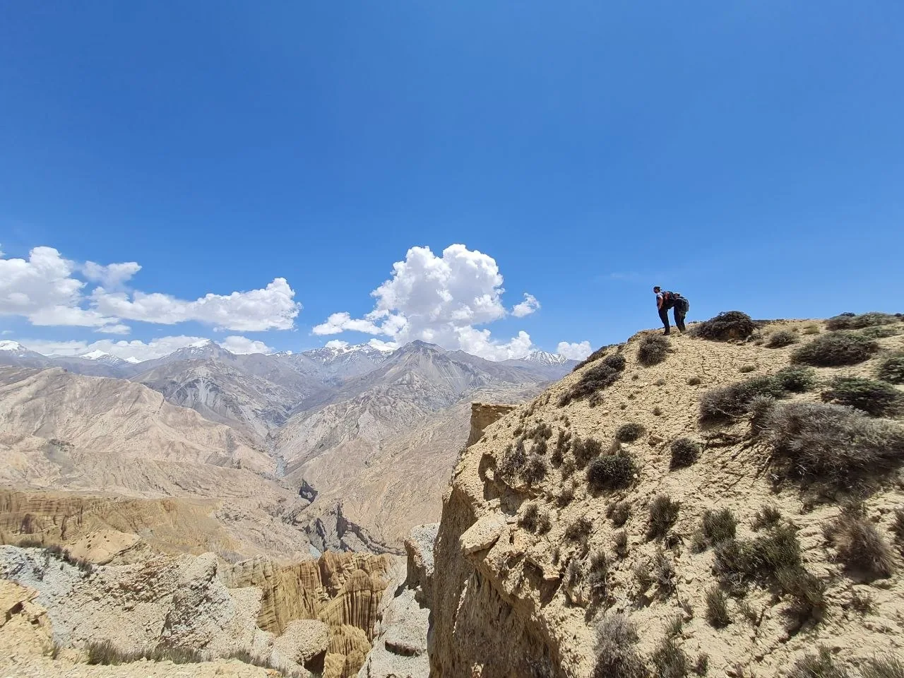
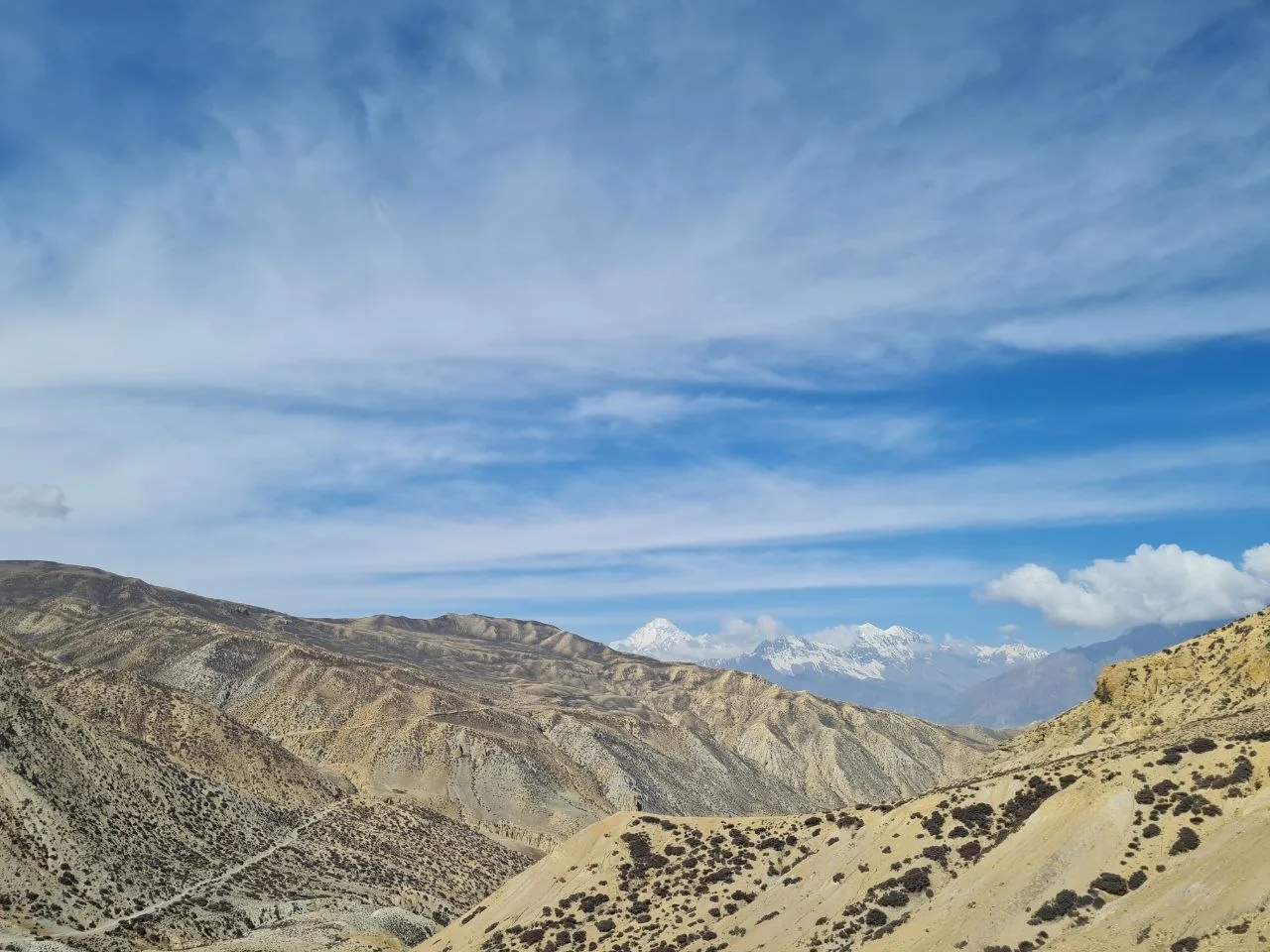
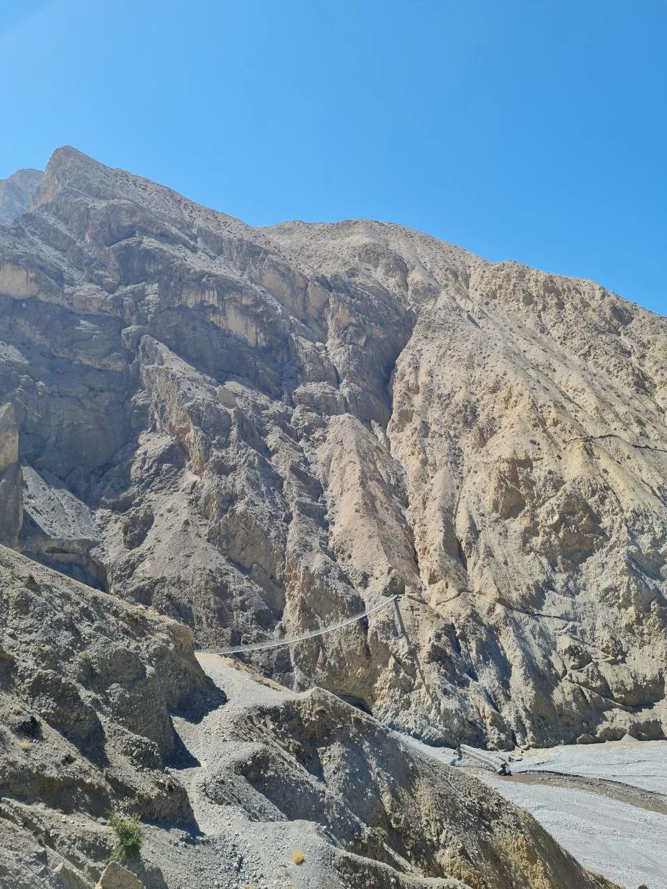
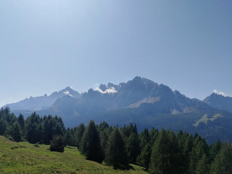
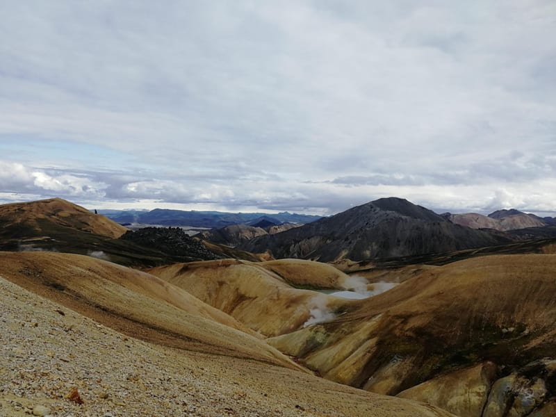
The Mustang Circuit is a restricted-area loop trek in the high-altitude rain shadow north of the Annapurna and Dhaulagiri ranges. The route covers 152.4 km with 7,528 m of total ascent, tracing a clockwise arc from Chele through Lo Manthang and back via a different return corridor. The landscape is arid throughout — compacted gravel plateaus in ochre and tan, deeply eroded badland formations, and canyon systems with near-vertical sedimentary walls sculpted into fins, gullies, and pinnacles. Glaciated Himalayan peaks appear above the lower desert ridgelines as a constant backdrop.
Entry to Upper Mustang requires three permits (a Restricted Area Permit, an Annapurna Conservation Area Permit, and a TIMS card) and a government-licensed guide — both mandatory and enforced at checkpoints along the route. Arrangements must be made through a registered trekking agency in Kathmandu or Pokhara before departure.
Day 1 begins at Chele (3,067 m) and climbs 1,482 m through barren hillsides and canyon edges, passing through Ghyakar and Samar before descending 1,000 m to Ghilin over 17.0 km. Samar sits in a shallow hollow with scattered juniper and a small gompa.
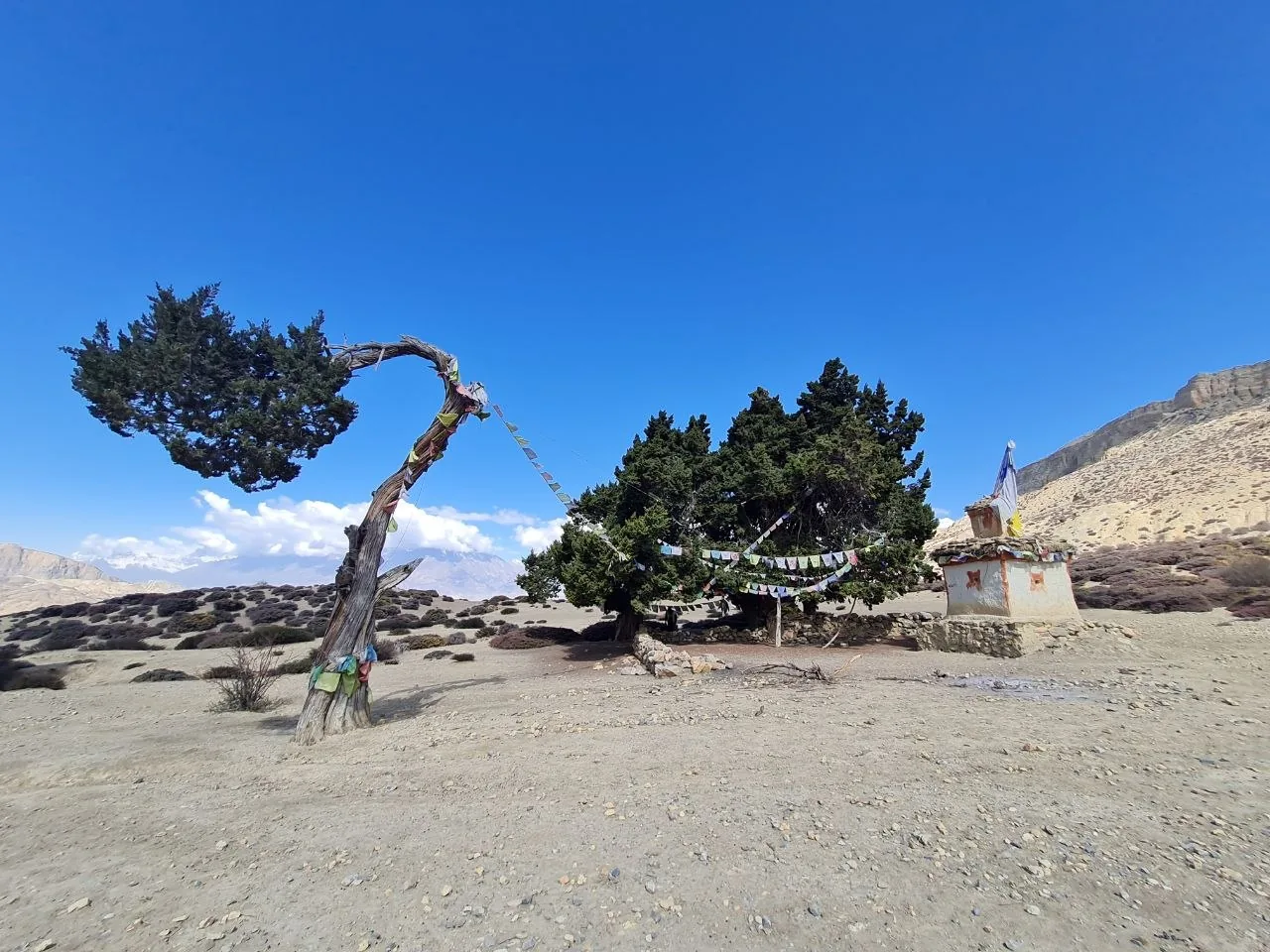
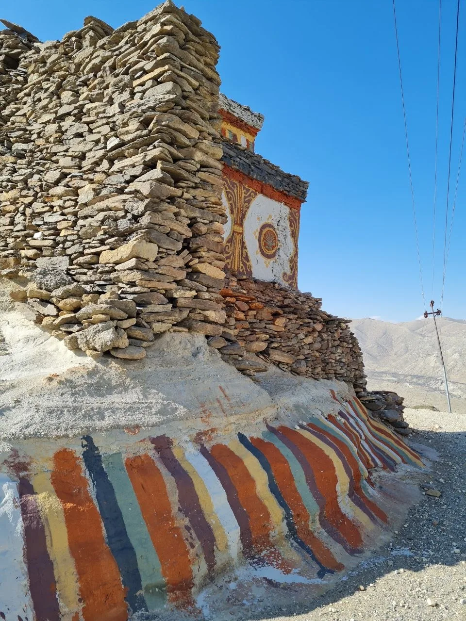
Day 2 moves 17.4 km from Ghilin through Ghami to Charang, with 845 m of ascent and 816 m of descent across rolling plateau terrain at roughly 3,500–3,600 m. Ghami features a long mani wall and a historic monastery; the trail beyond crosses open wind-scoured flats before dropping into the Charang valley. Chortens along this stretch are built from dry-stacked slate and schist, painted with the five Tibetan Buddhist colors at their bases.
Day 3 is a 12.9 km push from Charang up to Lo Manthang, gaining 539 m and arriving at the walled capital near 3,800–3,840 m. The approach crosses a broad, flat-bottomed valley ringed by pale eroded ridges, with the whitewashed walls of the ancient city appearing well before the trail reaches the entrance gate.
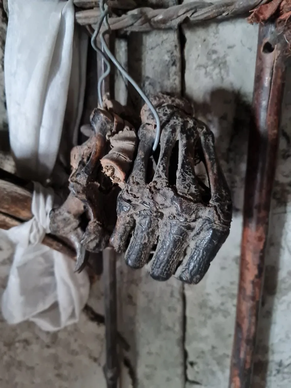
Day 4 is an acclimatization and exploration day based at Lo Manthang, covering 10.1 km with modest elevation change. At monastery doorways around Lo Manthang, dried animal remains are sometimes displayed as protective talismans — a detail reflecting the continuity of pre-Buddhist ritual practice alongside Tibetan Buddhism across the region.
The return corridor begins on Day 5, retracing 11.3 km from Lo Manthang back to Charang with 387 m of ascent and 803 m of descent. Day 6 covers 10.4 km between Yara Gaon and Ghara, with 490 m of ascent and descent across open plateau at around 3,600 m. Ghara’s crumbling ruins sit exposed on a ridge above a dry side valley with wide views back toward the Lo Manthang plateau.
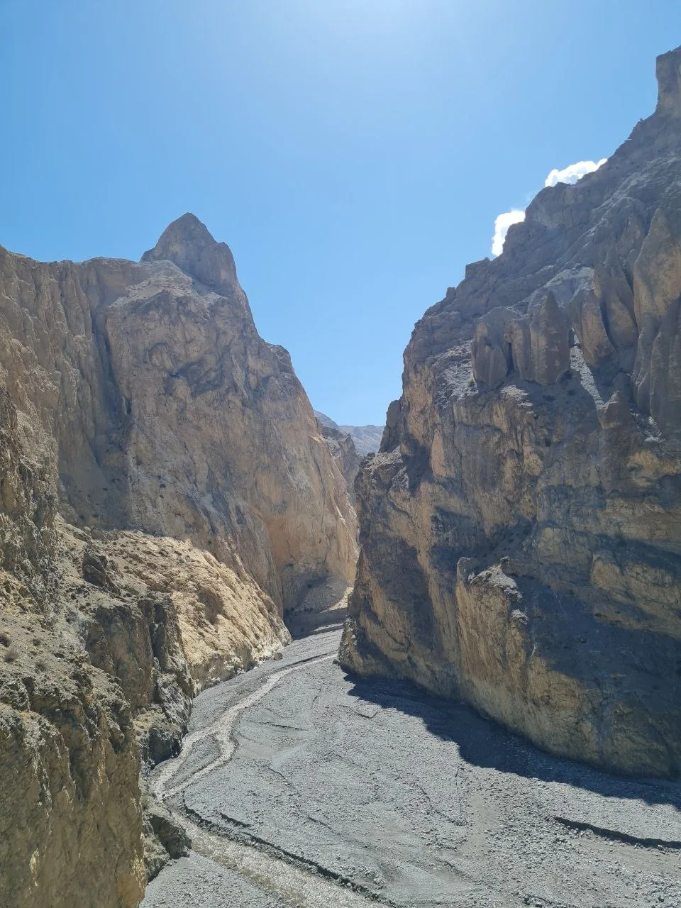
Day 7 covers 15.1 km from Yara Gaon through Ghami to Tānge, gaining 737 m and losing 989 m through canyon systems and past chortens and mani walls. Day 8 is the longest day, running 22.1 km from Tānge to Chhusang with 1,219 m of ascent and 1,610 m of descent through deeply cut gorges and arid scrubland. Canyon walls of tan and ochre conglomerate rise sharply on both sides, with dry braided riverbeds on the floor below. The terrain eases as the trail drops back toward the Kali Gandaki drainage.
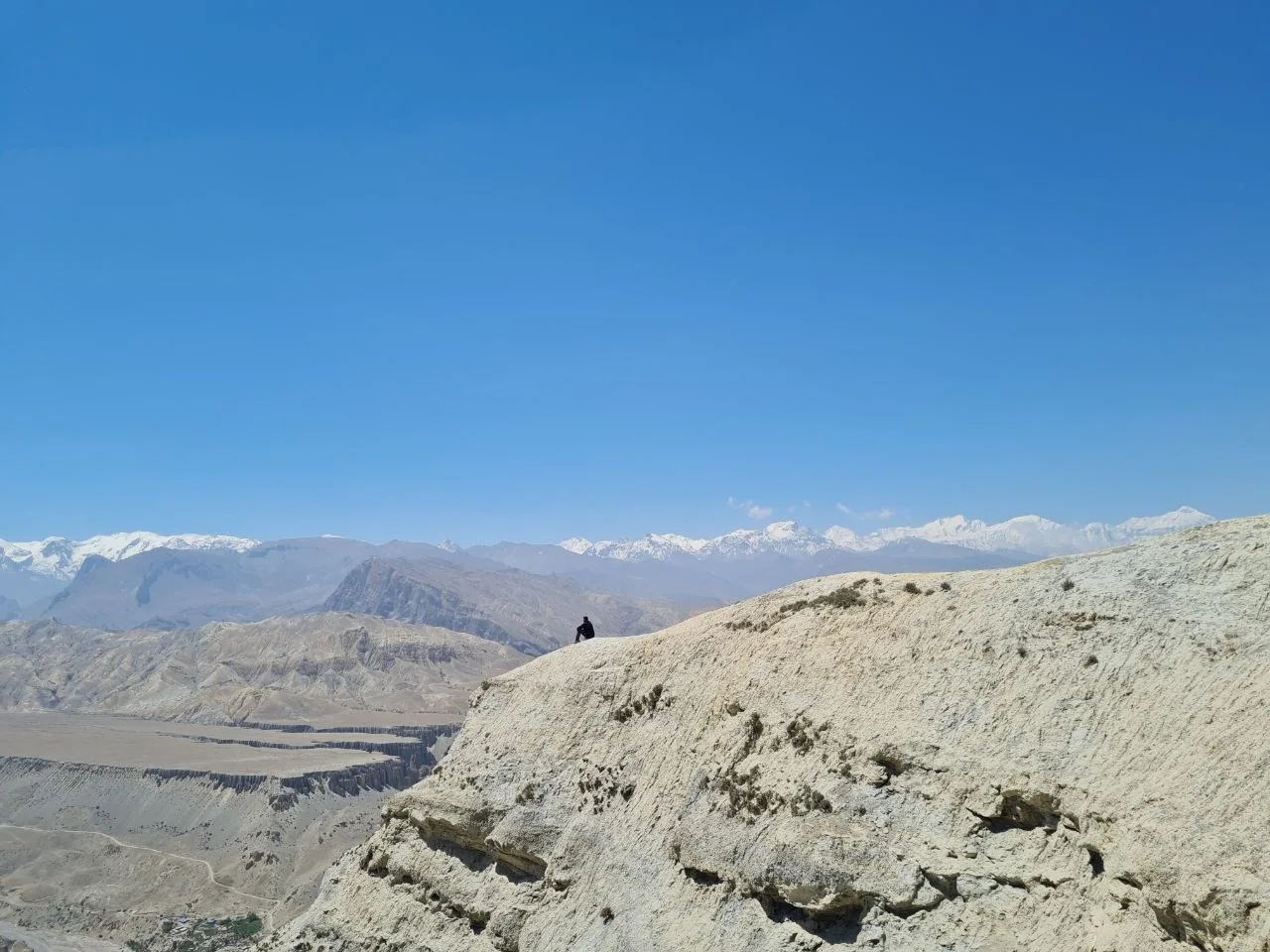
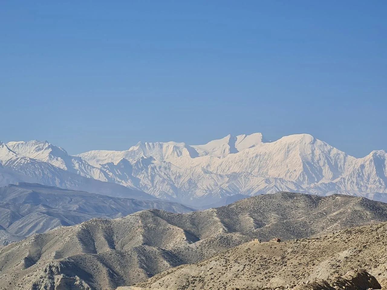
Day 9 closes the first part of the circuit with 14.7 km from Chhusang through Tangbe and up to Muktinath, regaining 1,261 m through terraced fields and canyon walls. From certain high points on the upper plateau, at least four distinct glaciated summits are visible simultaneously above the desert ridgelines.
Day 10 is the exit transfer, covering 21.4 km from Muktinath down through Kagbeni to Jomsom with 1,128 m of descent. Kagbeni, at the confluence of the Kali Gandaki and Jhong Khola rivers, is the checkpoint where permits are inspected on the way out.
Getting there
The standard approach is a short flight from Pokhara to Jomsom — roughly 20–25 minutes in small Twin Otter planes (15–19 seats) that thread through narrow valleys between towering Himalayan peaks. The views are spectacular and the experience itself is a highlight of the trip. Flights depart early morning only, as strong valley winds make afternoon operations impractical. Book in advance, especially in spring and autumn. The alternative is the jeep road from Pokhara via Beni, which is passable but takes a full day or more and is significantly less comfortable.
Accommodation
Accommodation along the circuit is in basic tea houses. Rooms are simple but adequate — beds, blankets, and a shared dining room. Hot water was usually available, and we had occasional internet access in the larger villages. Expect more basic conditions in smaller settlements between Lo Manthang and the canyon sections.
What to bring
- Layers for high-altitude cold and wind: insulated jacket, windproof shell, warm hat, and gloves suitable for temperatures that drop sharply at night above 3,500 m.
- Sun protection for high-altitude UV: sunscreen, UV-blocking sunglasses, and a brimmed hat.
- Sturdy, broken-in trekking boots with ankle support for gravel trails, canyon edges, and jeep road crossings.
- Water filter or purification tablets — reliable treated water sources are limited between villages.
- First aid kit including altitude sickness medication (consult a physician before departure) and blister care.
Tips
- Arrange all permits and your guide through a registered agency before leaving Kathmandu or Pokhara — nothing can be obtained at the trailhead.
- Build at least one full rest day at Lo Manthang before continuing — altitude gain from Jomsom is cumulative and altitude sickness is a real risk even below 4,000 m.
- Upper Mustang’s rain-shadow location makes it viable during the South Asian monsoon, though spring and autumn offer clearer conditions and better peak visibility.
- Book the Pokhara–Jomsom flight well in advance and plan for possible delays due to weather — have a buffer day in Pokhara before your trek start.
Links
- Upper Mustang Permit Requirements – Best Heritage Tour
- Upper Mustang Permit Guide – The Longest Way Home
- Upper Mustang Trek Permits and Fees – Himalayan Recreation
- Upper Mustang Trek Map and Route Overview – My Everest Trip