



 Duration
Description
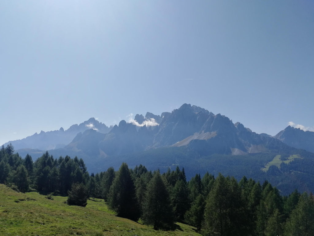
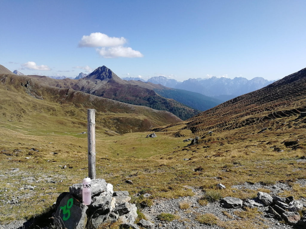
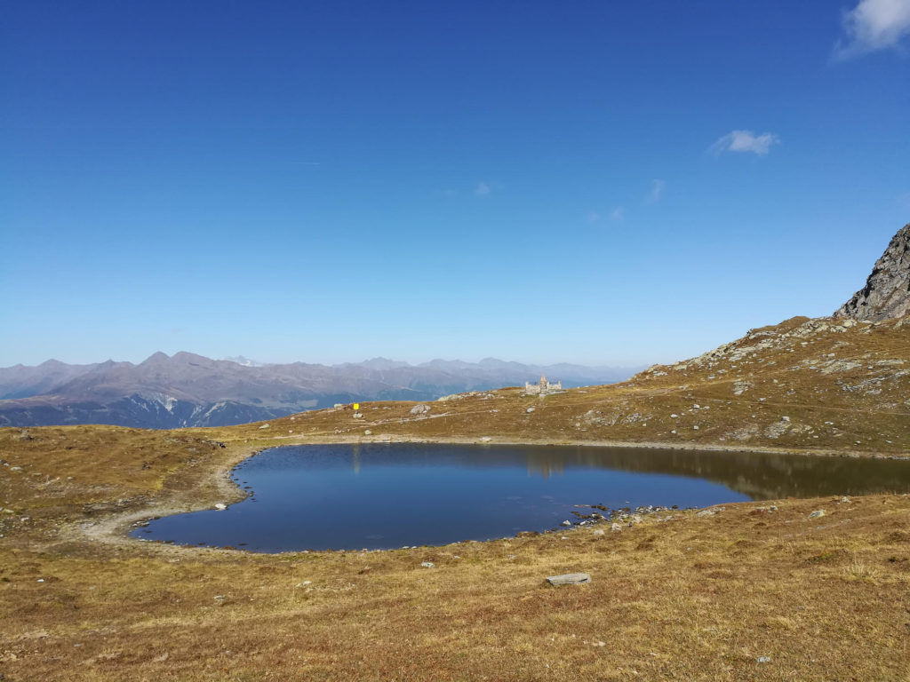
The hike starts in Sexten and follows small trails through pine forests up to Klammbach Alm. Afterwards you will ascent to the rim through alpine meadows and follow the rim until you reach Sillianer Hütte to spend the night. On day two you will continue to the mountain station of Helmbahn and follow narrow trails and unpaved forest roads until you reach Sexten.
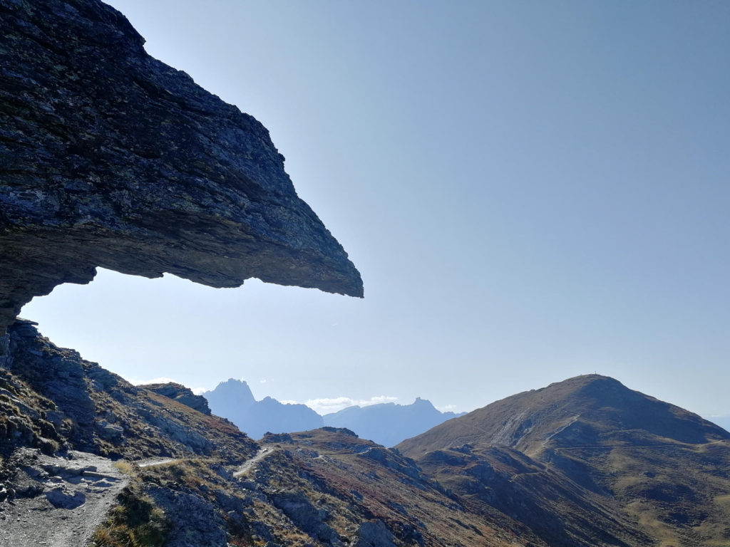
For those of you suffering from vertigo: The Demut passage right before Sillianer Hütte is a quite exposed, approximately 2 kilometer long part of the trail.
What to bring
Tips
- At kilometer 3.64 we had to change the planned route as the Stiergarten - Orto del Toro Trail was closed. We would recommend that you follow this trail until Klammbach Alm. After Klammbachalm you can again follow our gpx trail.
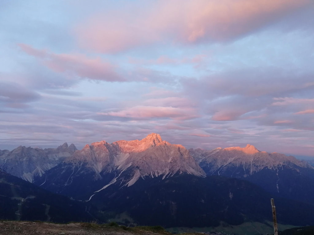
- You can do the hike also in one day. However, the Sillianer Hütte has beautiful sunset and sunrise views that shouldn’t be missed. The hut was refurbished in 2018/2019 and the food is excellent. Book ahead if you plan to stay overnight.