Description
The Stoneman Dolomiti is a three-day hiking circuit through the Pusteria Valley (Val Pusteria) and the surrounding Dolomite ranges of South Tyrol, Italy. The route begins and ends at Niederdorf (Villabassa) at 1,152 m, covering 61.5 km with 3,839 m of total ascent. Terrain shifts between wide valley paths, forested flanks, open alpine meadows, and exposed ridgeline traverses above treeline.
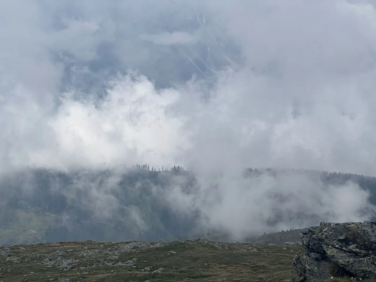
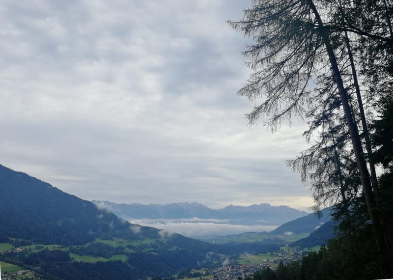
Day 1 runs 20.7 km from Niederdorf east through Toblach (Dobbiaco), then turns south and climbs 1,833 m to Bonner Hütte (Rifugio Bonner) at 2,344 m. The valley section through Toblach is flat and direct, passing the Saugstelle Löschwasserteich reservoir before the route begins its mountain approach. Broad agricultural fields line the valley floor, framed by forested ridgelines on both sides. Above the reservoir the terrain steepens sharply, tree cover strips away, and the trail narrows to singletrack across open alpine meadows. A few stone pines mark the upper forest edge before the route transitions to rocky, lichen-covered ground on the final exposed climb. Convective cloud can rise from the valley and partially engulf the upper mountain before the hut is reached.
Day 2 descends 1,821 m over 20.5 km, largely reversing the valley corridor before continuing west. From Bonner Hütte the trail drops through forested lower flanks toward Toblach, then continues west through Winnebach and Bodeneck, finishing at Bodeneck. Elevation loss is concentrated in the upper and middle portions of the day; the valley walking through Winnebach and Bodeneck is gentler.
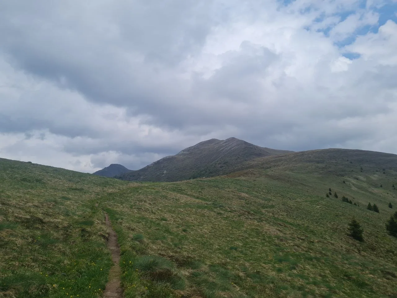
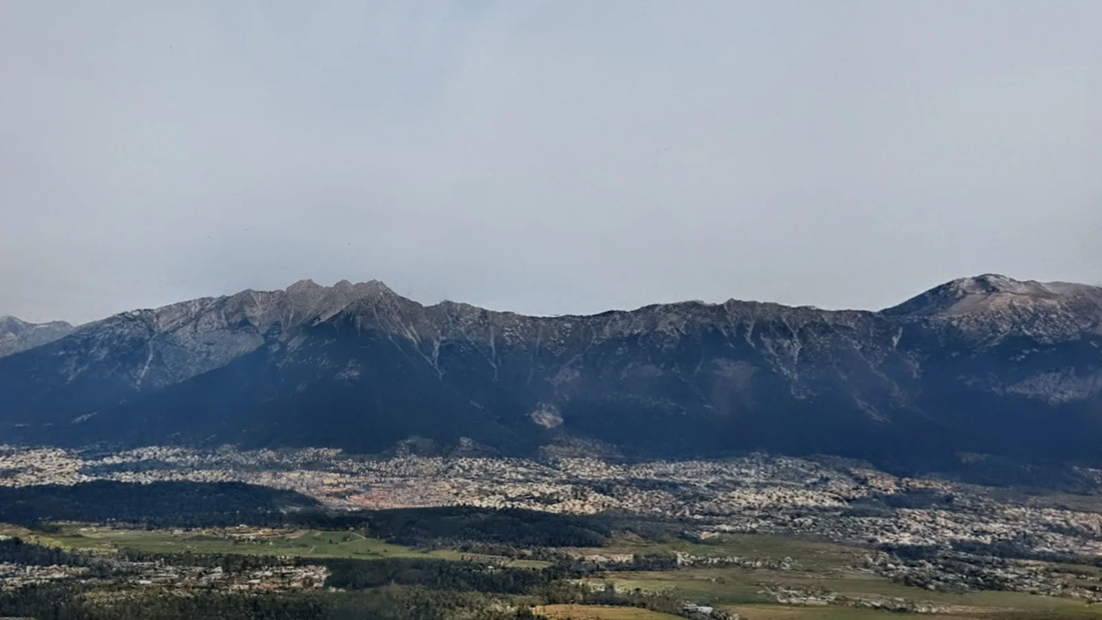
Day 3 covers 20.3 km from Gratsch (Grazze) at 1,195 m back to Niederdorf, with 1,334 m of ascent and 1,381 m of descent. The day’s highlight is the crossing of the Sarlkofel — both the ascent and descent are somewhat exposed, with steeper ground and open terrain that demands attention underfoot. The payoff is some of the best panoramic views of the circuit: the Pusteria Valley spread out below and the surrounding Dolomite peaks in full relief. From the summit section the route descends back to the valley floor and arcs east to close the loop at Niederdorf.
What to bring
- Sturdy hiking boots with ankle support — the upper approach to Bonner Hütte is rocky and exposed, and the 1,821 m descent on Day 2 puts real stress on ankles and knees.
- Trekking poles for the sustained climbs on Days 1 and 3 and the long descent on Day 2.
- Wind and rain shell plus a warm mid-layer for the exposed terrain above 2,344 m.
- Hut reservation confirmation and cash for Bonner Hütte — advance booking is required during peak season and many huts don’t accept cards.
- Enough water and snacks for exposed ridge sections and valley stretches where resupply is limited.
- Sun protection — sunscreen, sunglasses, and a hat — for open alpine terrain above treeline on Days 1 and 3.
Tips
- Book Bonner Hütte as early as possible — capacity is limited and it fills quickly through July and August.
- Start Day 1 early. Afternoon convective storms are common in the Dolomites in summer; clearing the exposed upper approach before midday reduces risk.
- Footing on the lichen-covered rock of the upper traverse is unreliable when wet — treat it with care in damp or windy conditions.
- All three days are close to 20 km. Avoid pushing too hard on Day 1 — tired legs on the 1,833 m climb make the exposed section more serious.
- Public transport along the Pusteria Valley serves both Niederdorf and Toblach, making the route easy to reach and leave without a car.
Links
- Stoneman Dolomiti Official Site
- Bonner Hütte (Rifugio Bonner / Pfannhornhütte) – Official Site
- Hochpustertal / Alta Pusteria Tourism
- Niederdorf / Villabassa – Hiking