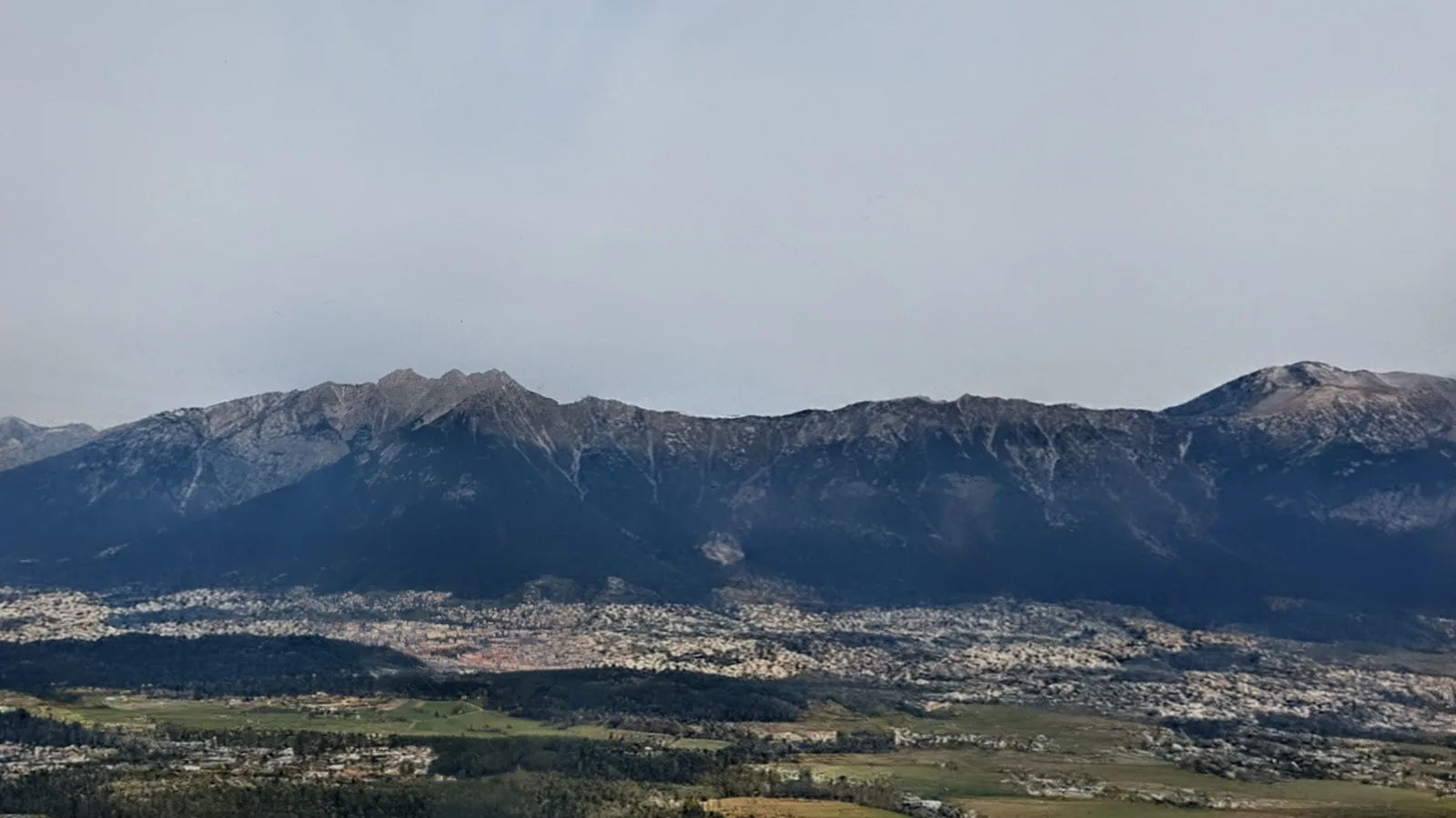
Description
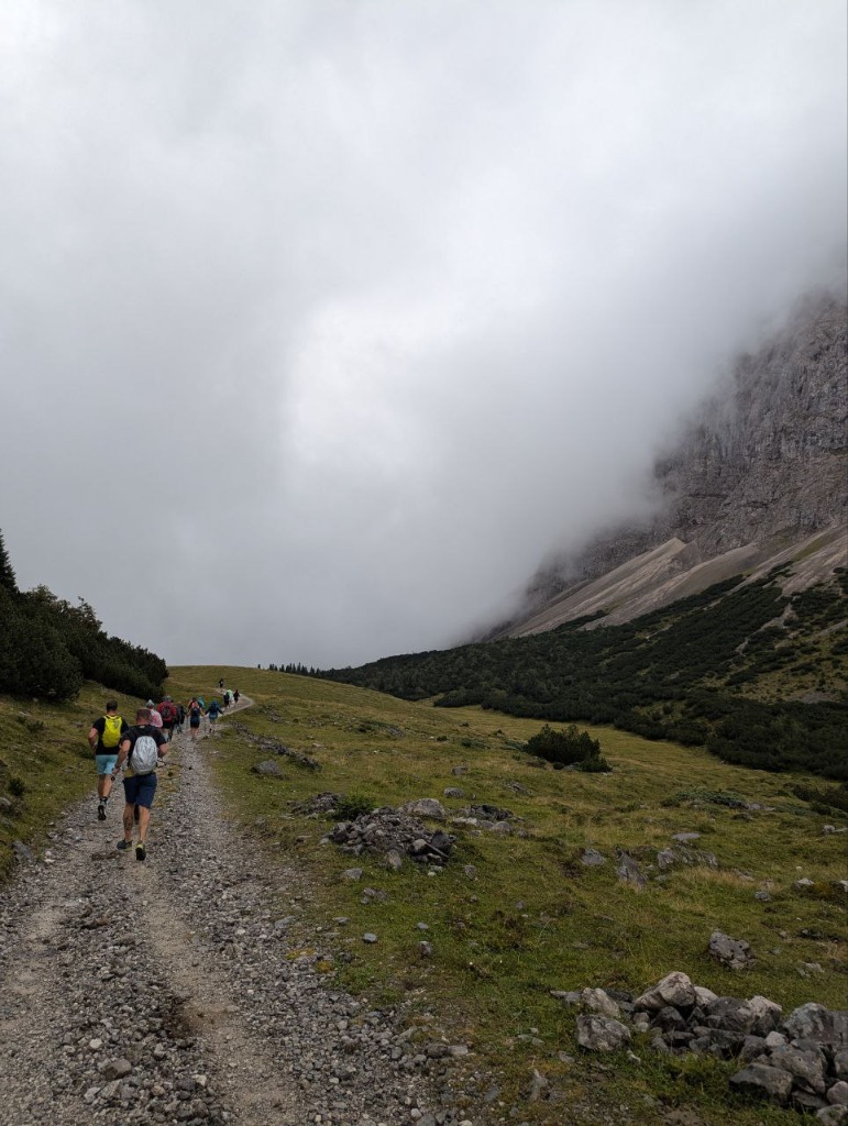
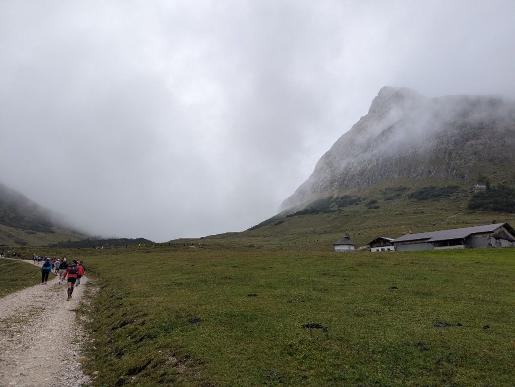
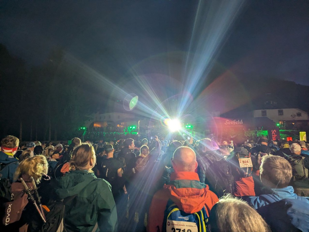
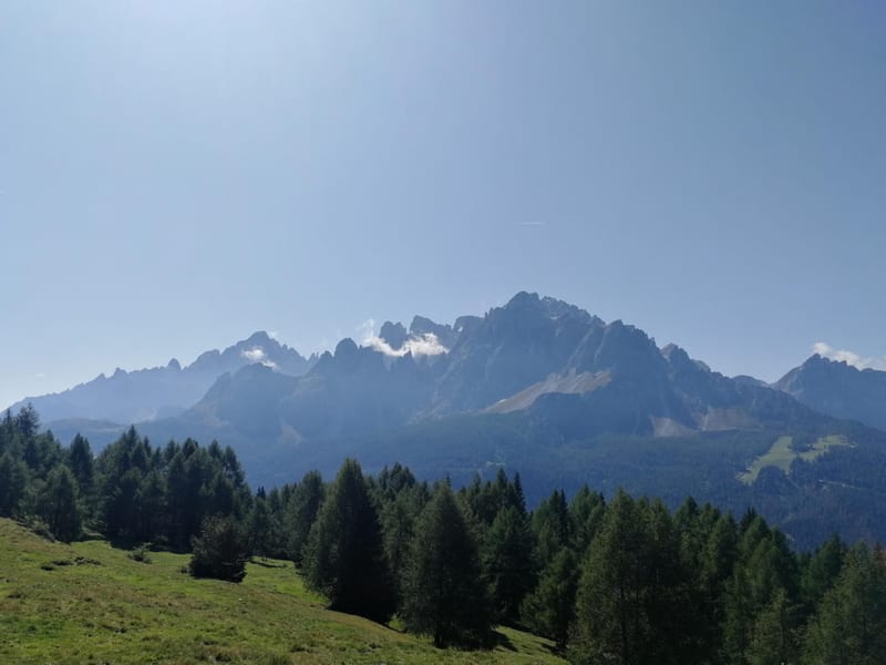
Karwendelmarsch Trail Run follows the shorter, point-to-point line of the Karwendelmarsch through the Karwendel Mountains. It starts in Scharnitz at the Naturpark Info Center, climbs up-valley on established paths, then heads deeper into the range.
The course runs like a long traverse, linking huts and trail junctions rather than looping back. Expect mostly runnable track and trail, with sustained climbs and sections of rough limestone underfoot.
Conditions can change quickly between valleys and higher ground. In wet weather the limestone can be cold and slippery, so bring an extra layer even if the terrain is not highly technical.
If you do the route outside the event, plan your finish and return in advance. Options can be limited, and the approach valley toward the Hinterautal is closed to public traffic, which affects pickup and shuttle plans.
What to bring
- Water and calories for a long effort
- Rain shell and warm layer
- Spare dry layer or socks in a waterproof bag
- Trail shoes with dependable grip on wet rock
- Phone with offline maps and a power bank
- Basic first-aid kit and blister care
Tips
- Plan end-to-start logistics before you go
- Start conservatively and save energy for the later climbs
- In rain, expect slick limestone and slower progress on rocky sections
- Use huts to refill, eat, and reset your pacing
- If conditions are uncertain, consider a shorter finish option
Links
- Karwendelmarsch route (official)
- Seefeld tour entry (start in Scharnitz)
- Karwendelmarsch background (Achensee)
Downloads
karwendelmarsch-trail-run-day-1.gpx